Drive it counterclockwise over three days, starting in Marathon and finishing in Marfa. If you only have two days, cut leg three. The essentials:
Start here
Marathon: last full-service fuel for seventy miles, and a good bed.
Sleep here
Chisos Mountains Lodge, in the basin: book it a year out or camp instead.
Do not skip
FM 170, Terlingua to Presidio: the best road in Texas.
Finish here
Marfa: the only place on the loop with a real dinner reservation.
The first time I drove to Big Bend I did it in one push from San Antonio, arrived at dusk
with a quarter tank, and learned that the gas station at Study Butte closes earlier than
you would like. That trip taught me more about this loop than the ten since, all of which
have been better planned and less interesting to talk about.
I now drive the loop counterclockwise from Marathon in four legs over three nights,
roughly 340 miles of pavement. Nothing here requires four-wheel drive. All
of it requires paying attention to fuel, light and heat, in that order.
At a Glance
The top of the ranking, side by side. Scroll sideways on a phone for price and rating.
The Big Bend loop leg by leg, with starting point, what each stretch is known for, estimated fuel and fees, and rating out of five.
I have driven this loop eleven times since 2019, in a truck, a rented sedan and once, unwisely, in February. The route below is built around four constraints:
1Fuel. There are two reliable stations on the whole loop and a third that is closed as often as it is open. Every leg here starts with a full tank.
2Light. The Chisos face west and Santa Elena faces east, so the order of the legs is set by when each one looks like anything.
3Heat. Everything below 3,000 feet is unwalkable from May to September after about ten in the morning. Legs are timed around that, not around mileage.
4Beds. Four places to sleep on the loop take reservations, and three of them book six months to a year ahead. The route accounts for what you can actually get.
Mileage was logged on the odometer, not pulled from a mapping app. Fuel prices, lodge availability and road conditions were confirmed with the Panther Junction visitor center and the Presidio County sheriff's office in July 2026. We pay for our own gas.
The Loop, Leg by Leg
1
No. 1: Marathon to Panther Junction
Marathon★4.7(US-385, 70 miles)★Price: $38
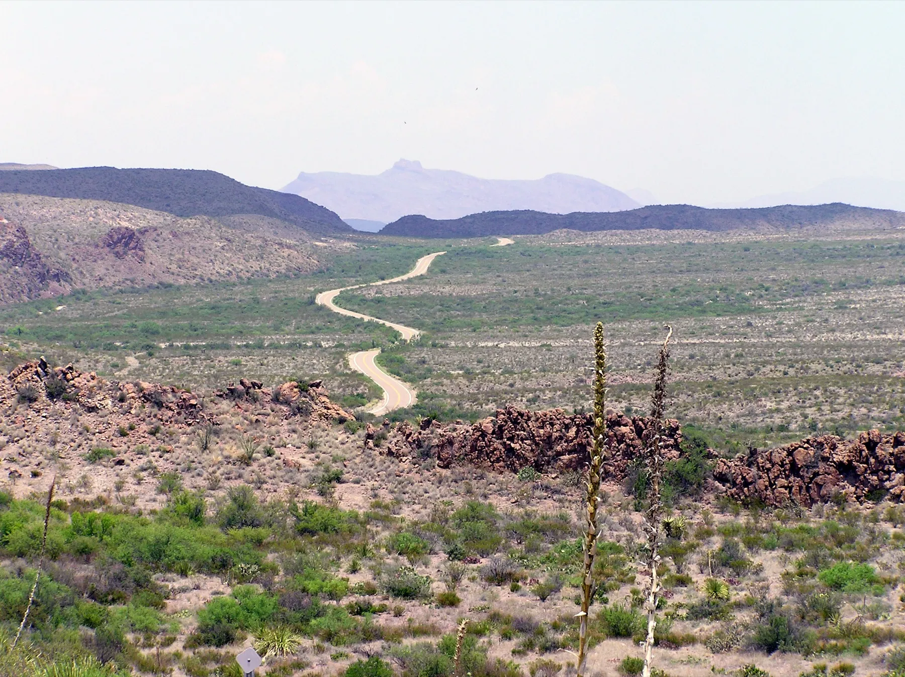
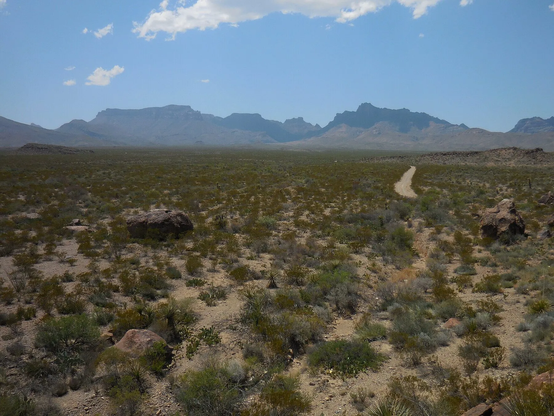
Seventy miles of empty two-lane running due south off US-90, with the Chisos appearing on the horizon somewhere around mile fifty.
Persimmon Gap is the north entrance, and the first forty miles look like this. National Park Service Digital Image Archives / Wikimedia Commons (Public domain)
Marathon is a town of about four hundred people on US-90 with a 1927 hotel, one good
restaurant, and the last full-service fuel before the park. Fill the tank here even if
the gauge says you are fine. Then turn south on US-385 and drive seventy miles without
passing a single business.
The road is good, the traffic is nonexistent before nine, and the range is unfenced,
which means cattle stand in the lane at dusk with total confidence. The Persimmon Gap
visitor center has a small fossil exhibit that is worth ten minutes, mostly for the
mosasaur skull.
Heads up:
this is open range with no services for seventy miles. Fuel up in Marathon, watch for cattle and javelina at dusk, and expect no cell signal after mile 12.
How it scored
Scenery
4.6 out of 5
Road
4.8 out of 5
Services
3.2 out of 5
Payoff
4.7 out of 5
Key facts
Distance
70 miles
Drive time
90 minutes, no stops
Fuel
Marathon, then Panther Junction
Cell service
None after mile 12
Surface
Paved, good, unfenced range
Park entry
$30 per vehicle, seven days
Pros
The best approach drive in the state
Persimmon Gap fossil exhibit is a free ten-minute stop
Almost no traffic before nine in the morning
Cons
Open range means cattle and javelina on the road at dusk
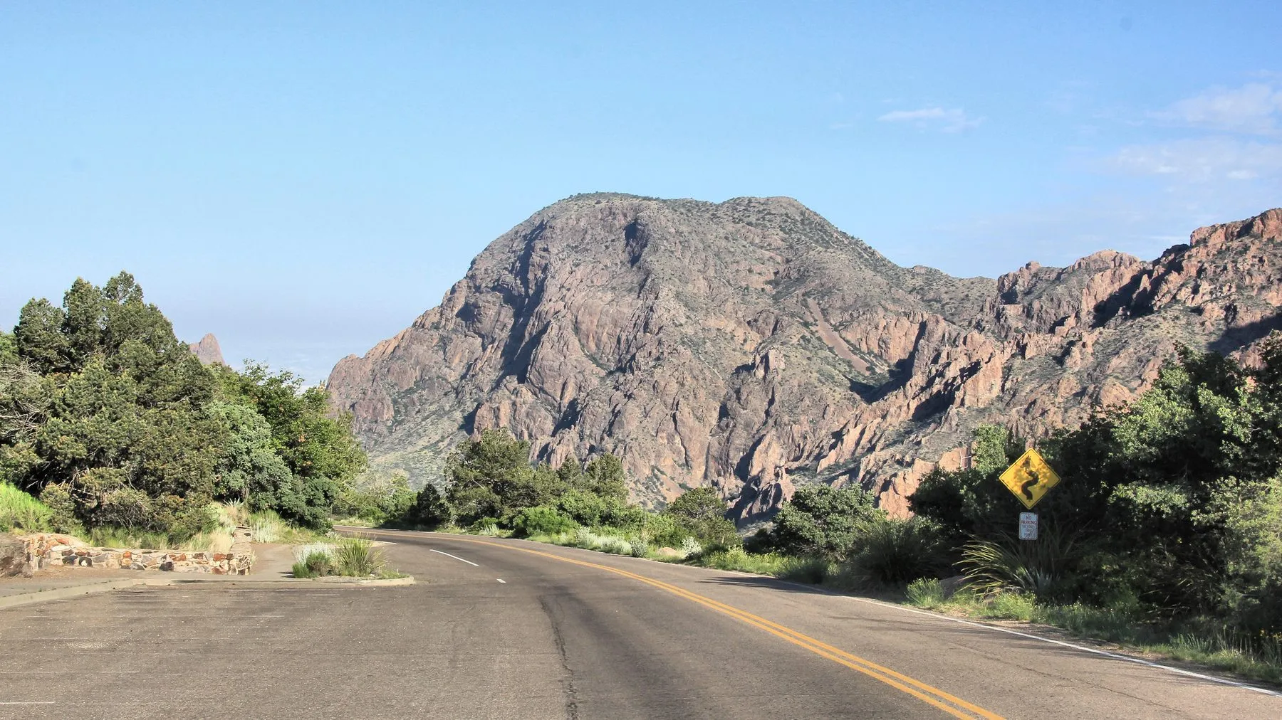
Six miles and 1,700 feet of climbing into a bowl surrounded on all sides by mountains, ending at the only lodge inside the park.
The six-mile road into the Basin climbs through the Chisos. Larry D. Moore / Wikimedia Commons (CC BY 4.0)
From Panther Junction the Basin Road climbs six miles and 1,700 feet into a bowl ringed
by mountains, and the temperature drops about a degree for every two hundred feet you
gain. In August that is the difference between miserable and pleasant. The grade hits 15
percent and the switchbacks are tight enough that the park bans trailers over twenty
feet.
Chisos Mountains Lodge is the only hotel inside the park and books close to a year out.
If you cannot get a room, the basin campground takes reservations on the same system and
is easier, and the walk to the Window View overlook is five minutes from either.
Best for:
the last hour of daylight, when the sun drops through the Window gap.
How it scored
Scenery
5.0 out of 5
Road
4.2 out of 5
Services
4.6 out of 5
Payoff
5.0 out of 5
Key facts
Distance
6 miles from Panther Junction
Elevation
About 5,400 feet at the basin
Grade
Steep, 15 percent in places
Vehicles
No trailers over 20 feet, no RVs over 24
Best trail
Window Trail, 5.6 miles round trip
Lodging
Chisos Mountains Lodge, books a year out
Pros
Ten to fifteen degrees cooler than the desert floor
The Window frames the sunset almost every evening
Restaurant, store and ranger station all in the basin
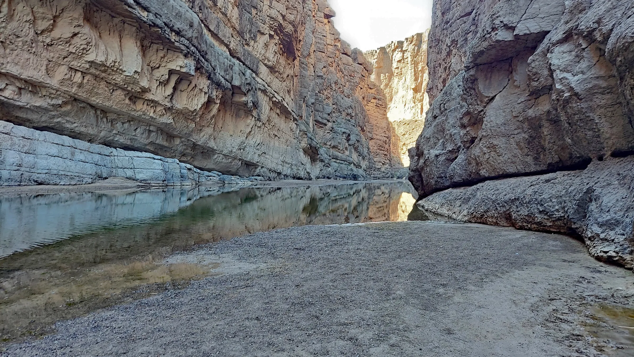
Thirty miles southwest past Mule Ears and Tuff Canyon to a 1,500-foot limestone gash with the Rio Grande running out of it.
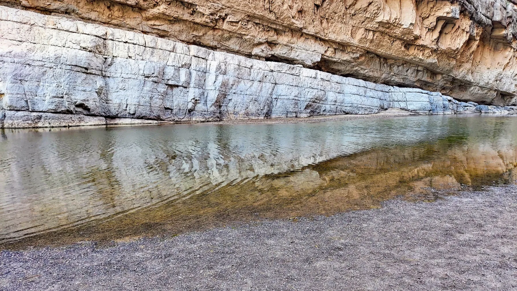
Fifteen hundred feet of limestone, straight off the river. P. Hughes / Wikimedia Commons (CC BY 4.0)
Ross Maxwell Scenic Drive runs thirty miles southwest from the main park road toward the
river, past Sotol Vista and Mule Ears and down through Tuff Canyon to the old Castolon
store. Give it two hours with stops. Give it more if the light is good.
At the end, Santa Elena Canyon: a 1,500-foot limestone wall split by the Rio Grande,
with Mexico on one side and Texas on the other and about sixty feet of water between
them. The trail is 1.7 miles round trip with one steep set of switchbacks at the start.
Do it before nine.
Heads up:
Terlingua Creek at the Santa Elena trailhead runs knee deep after rain and has turned
people back. Ask at Castolon before committing to the drive.
How it scored
Scenery
5.0 out of 5
Road
4.5 out of 5
Services
3.6 out of 5
Payoff
4.9 out of 5
Key facts
Distance
30 miles one way
Drive time
Two hours with stops
Canyon walls
About 1,500 feet
Trail
1.7 miles round trip, one steep section
Crossing
Terlingua Creek, sometimes knee deep
Best light
Before 9 a.m., east-facing
Pros
The single best short hike in the park
Castolon store sells cold drinks and ice
Pullouts at Sotol Vista and Mule Ears are worth the stops
Fifty miles of pavement pinned between the Rio Grande and the Bofecillos Mountains, including a 15 percent grade locals call the Big Hill.
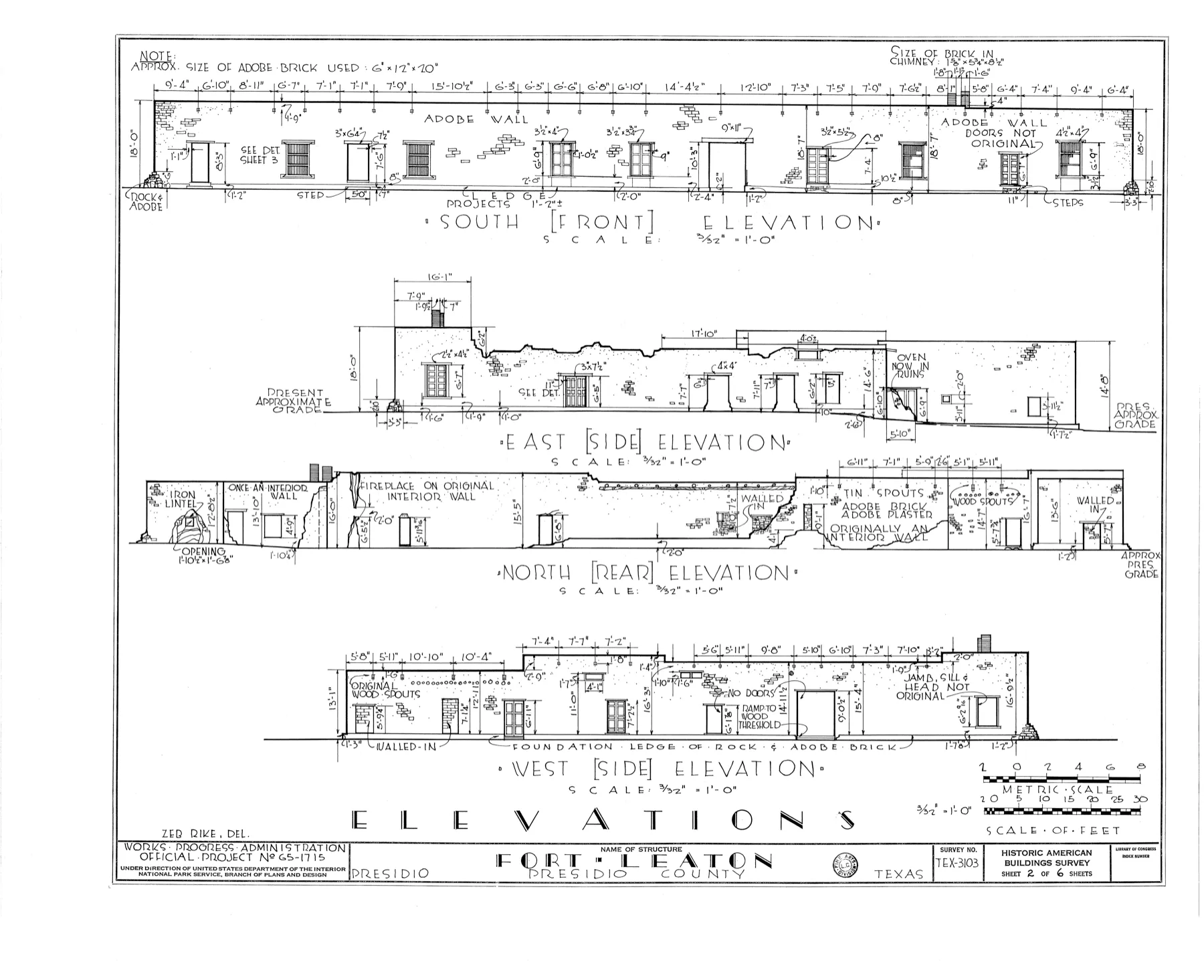
Fort Leaton stands four miles east of Presidio on FM 170. Historic American Buildings Survey / Library of Congress via Wikimedia Commons (Public domain)
Leave the park at Study Butte, top off the tank, and turn west on FM 170. For the next
fifty miles the road runs between the river and the Bofecillos Mountains, climbing over
the Big Hill at a grade steep enough that trucks downshift twice, then dropping back to
the water. Texas Monthly has called it the best drive in the state. They are right, and
it is not an argument I have ever heard anyone lose.
There are stone teepee shelters at intervals, built as roadside picnic stops, and they
are the right place to eat lunch. Presidio at the far end has fuel and not much else.
Keep going to Marfa, sixty miles north on US-67, and eat somewhere with a tablecloth.
Know before you go:
there is a Border Patrol checkpoint north of Presidio. Have identification within
reach and expect a two-minute stop.
How it scored
Scenery
5.0 out of 5
Road
4.7 out of 5
Services
3.0 out of 5
Payoff
5.0 out of 5
Key facts
Distance
50 miles
Drive time
75 minutes, longer with stops
Steepest grade
15 percent at the Big Hill
Fuel
Study Butte, then Presidio
Cell service
None
Best light
Last two hours before sunset
Pros
Widely considered the best drive in Texas
Teepee shelters make good free lunch stops
Barton Warnock center at the east end is worth an hour
Cons
Steep grades and blind curves, no guardrail in places
Border Patrol checkpoint on the far end, have ID ready
Three is right. Two is possible if you cut the Ross Maxwell leg. One day means you will spend most of it in the car and see the park through a windshield, which is a long way to drive for that.
Where do you get gas in Big Bend?
Marathon, Panther Junction inside the park, Study Butte at the west entrance, and Presidio. That is the whole list. Fill up whenever you pass one, whether or not you think you need to.
Is there cell service in Big Bend National Park?
Very little. There is intermittent service around Panther Junction and in parts of the Chisos Basin, and effectively none on US-385, the Ross Maxwell drive, or FM 170. Download offline maps before you leave Marathon.
When is the best time to drive the Big Bend loop?
November through March. Daytime highs sit in the sixties and seventies and the light is better. March spring break fills every bed in the region, so aim for November, early December or late January.
Do you need four-wheel drive for the Big Bend loop?
Not for this route. Everything described here is paved, including FM 170. Four-wheel drive matters only if you leave the pavement for Old Ore Road, River Road inside the park, or the interior of Big Bend Ranch State Park.
Where should you stay on the Big Bend loop?
Chisos Mountains Lodge inside the park if you can get it, which means booking close to a year out. Otherwise Terlingua and Study Butte have the most options, Marathon has the best single hotel, and Marfa is the right last night.
Sources & Methodology
We used the records, official pages and independent sources listed below to report and verify this guide. No source paid for placement.
–Field reporting: eleven runs of this loop between March 2019 and June 2026, with mileage logged on the odometer.
–Fuel availability and road conditions confirmed with the Panther Junction visitor center, July 2026.
–Chisos Mountains Lodge booking windows confirmed with the concessioner, June 2026.
–Grade and elevation figures cross-checked against Texas Department of Transportation route data.
Diego writes about road trips, state parks and the long empty stretches in between. His guides focus on routes, reservation rules, seasonal closures and practical access details.