The 11 Best Hikes in Austin, From Easy Walks to Steep Climbs
Eleven trails inside Austin, ranked by how much hiking you get and how much shade you can count on in August.
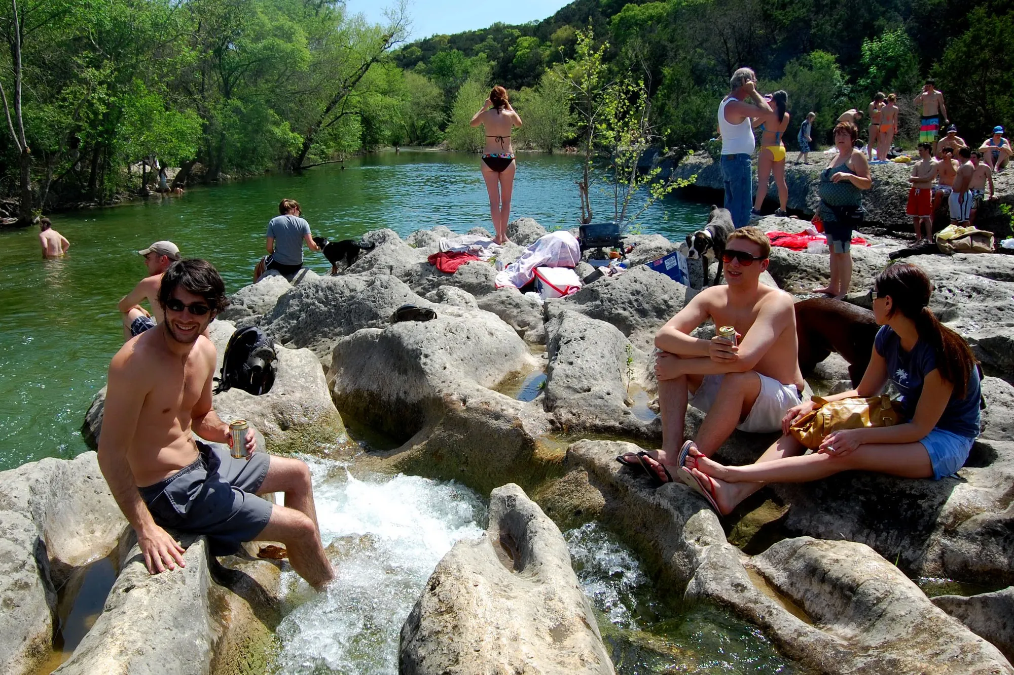
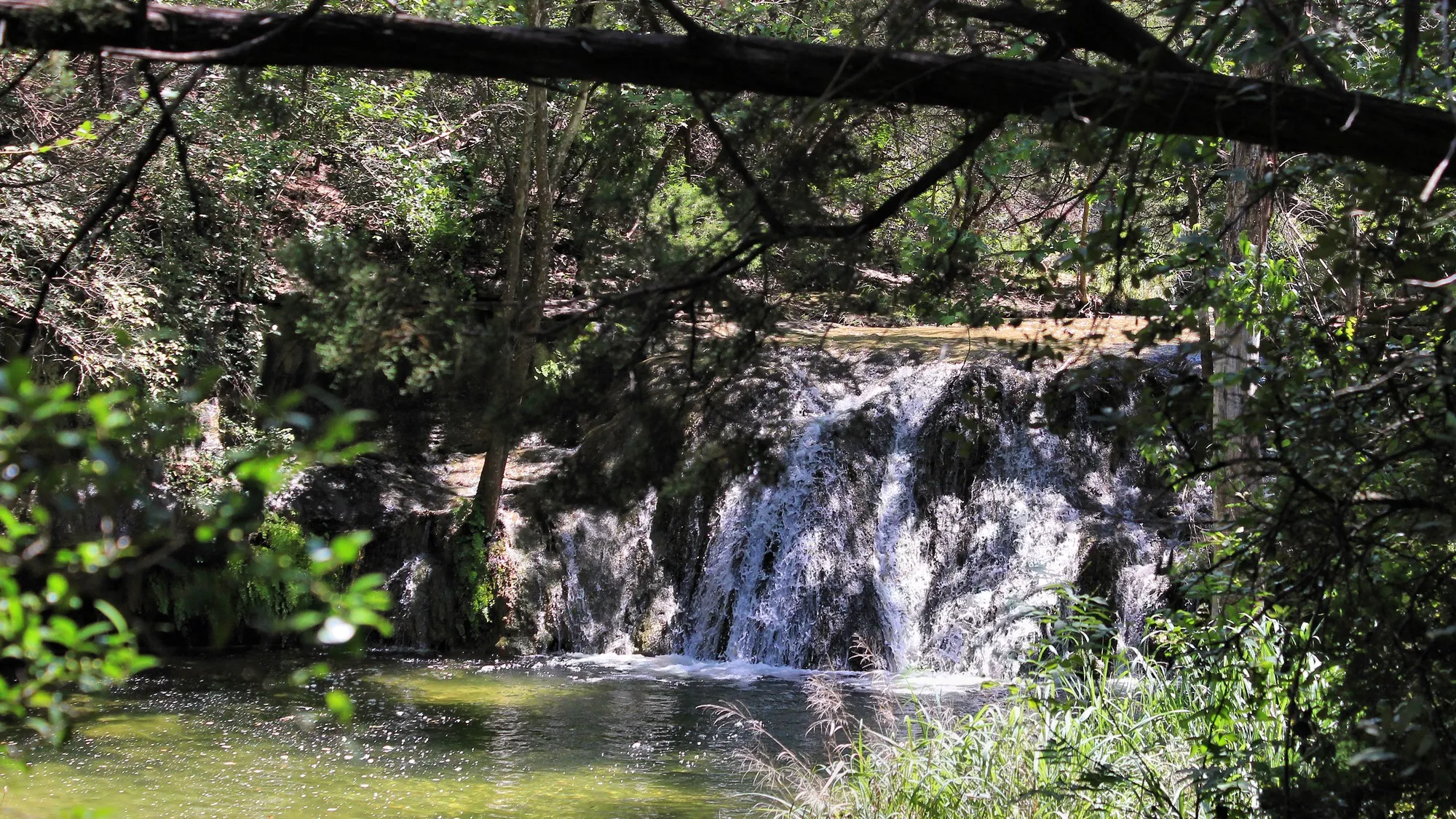
Sculpture Falls brings Barton Creek Greenbelt's limestone ledges and swimming water together after rain. LoneStarMike / Wikimedia Commons (CC BY-SA 3.0)
Barton Creek Greenbelt is the best hike in Austin. More than 12 miles of trail run past limestone cliffs and swimming holes in the middle of the city, free on a weekday.
Top pick
Barton Creek Greenbelt: over 12 miles of canyon trail and swimming holes, free on weekdays.
Best workout
River Place Nature Trail: 2,763 steps one way, with a $10 fee on weekends and holidays.
Best for families
McKinney Falls State Park: a 2.8 mile paved loop, two waterfalls and free entry for kids under 12.
Best short hike
Mount Bonnell: about 100 limestone steps to the best view in the city.
Best with a dog
Turkey Creek Trail: shaded creek crossings and a free lot outside the park gate.
We looked at 16 trails around Austin. Eleven made the list. Mayfield Park is a
garden with peacocks, not a hike. The Violet Crown Trail runs beside traffic for
long stretches while its last 13 miles get built.
Shoal Creek Greenbelt, Red Bud
Isle and Spicewood Valley Trail are nice walks that end before you warm up. For
the 11 that stayed, we read the official park page for hours, fees and dog rules.
We pulled the Google rating for each one. Then we checked the city and state
closure lists on August 2, 2026.
Three things sorted the winners. How much walking you get. How much of it sits in
shade or by water. How hard it is to park. A trail can be perfect and still
useless if the lot fills at 8 a.m.
The list runs from a five minute stair climb to a 10 mile loop. It spreads from
far north Austin down to Onion Creek in the southeast. Nine of the 11 are free at
least five days a week. All of them are open this week. Two carry timing
warnings, and we flag those where they come up.
At a Glance
The top of the ranking, side by side. Scroll sideways on a phone for price and rating.
A ranked table of all 11 Austin hikes showing town, rating, review count, price and what each trail is known for.
We ranked every trail against these three things, in order of weight:
1Trail and terrain. How much real trail you get, and whether the walking stays interesting all the way out and back.
2Shade and water. Austin runs hot for five months. Tree cover and a creek you can stand in count for more here than in most places.
3Access and cost. Parking, gate hours, fees and reservation rules. A trail you cannot get into on a Saturday is not much use.
We pulled the Google rating and review count for every trail. We read the official city and state park pages for hours, fees and dog rules. We checked the Texas Parks and Wildlife alert page for McKinney Falls. We read the Austin Parks and Recreation closure list on August 2, 2026. We did not hike these trails for this article, and no park paid for a spot on the list.
The 11 Best Hikes in Austin, Ranked
Every trail written up in full below, with what we could and could not confirm.
1
No. 1: Barton Creek Greenbelt
Austin★4.7(4,502 Google reviews)★Price: Free on weekdays
No other trail in Austin gives you this much distance and this much water without leaving the city.
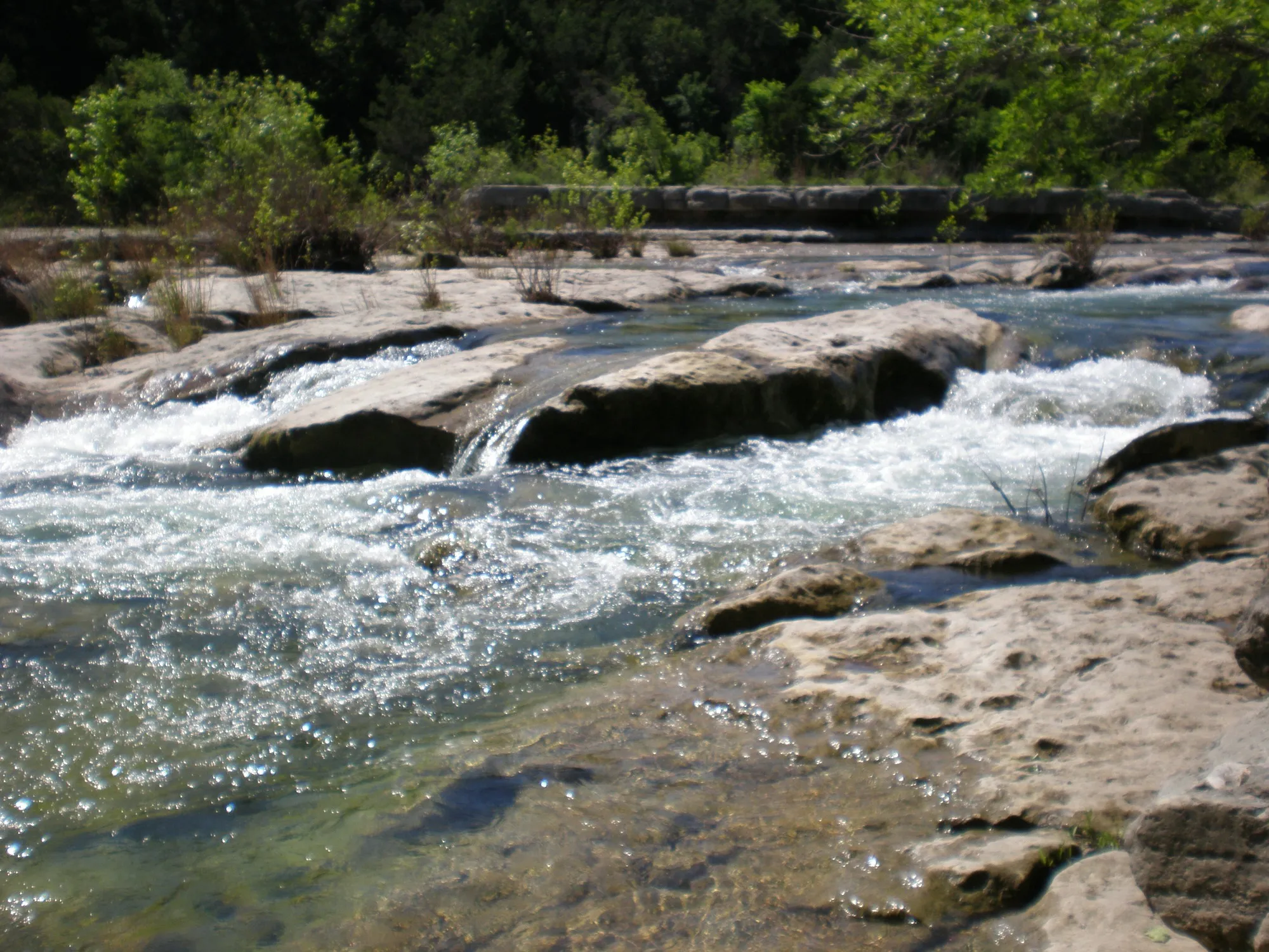
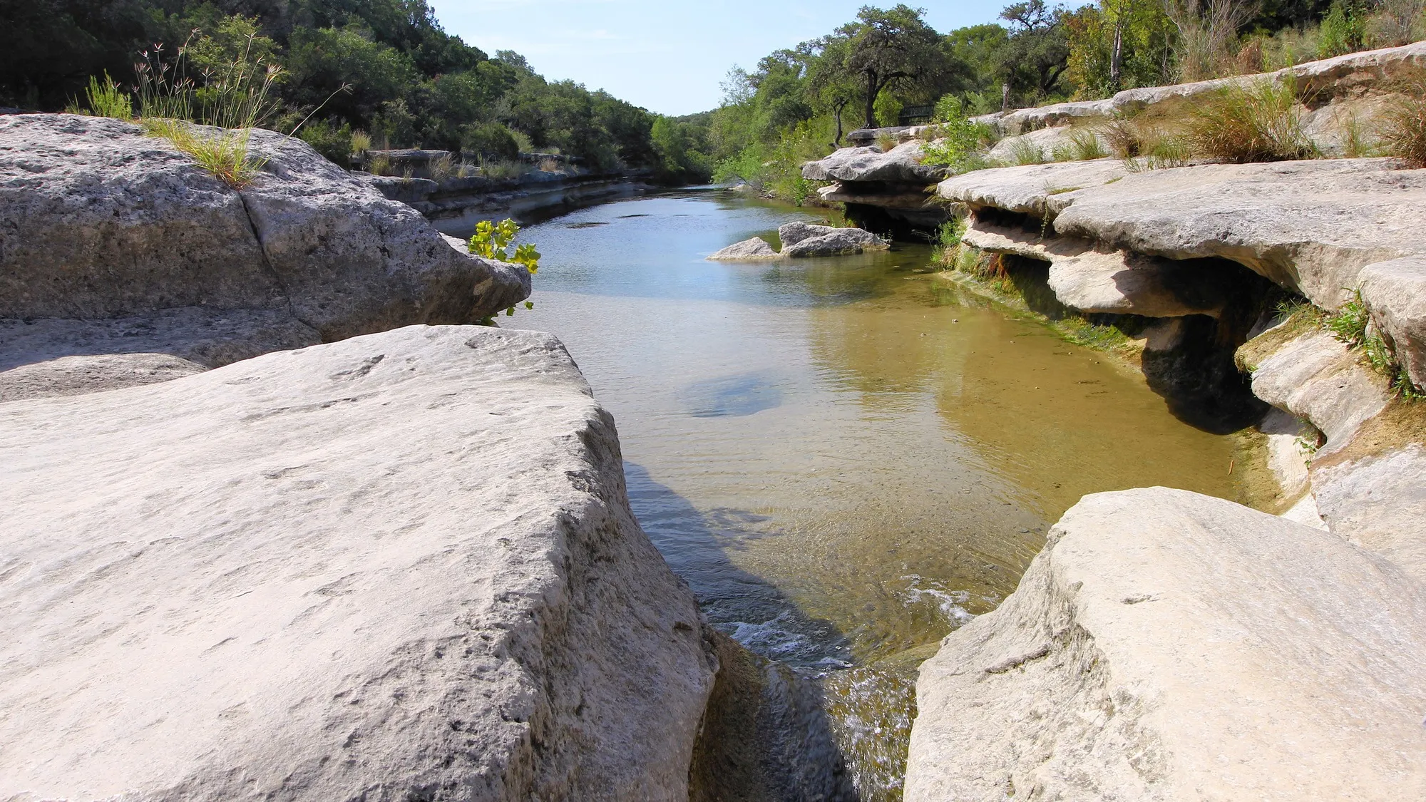
Barton Creek runs over exposed limestone ledges when the greenbelt has water after rain. Julia Duffy / Wikimedia Commons (Public domain)
Barton Creek Greenbelt wins because it gives you the most trail without leaving
town. The creek cut a canyon through soft limestone. So the walking keeps
changing. Packed dirt, then boulder ledges, then a pool deep enough to swim in.
Six named entrances feed the same system, and there are more than six. Each one
starts a different kind of day. The Loop 360 entrance has its own free lot, and
Twin Falls is an easy walk from it. That is why it fills up first on a Saturday.
Head west and the trail keeps going. Sculpture Falls sits about a mile past
Twin Falls. At the far end, the Trail’s End entrance drops onto the Hill of
Life. That is the steepest piece of the greenbelt. Runners use it like a stair
machine.
Want quiet instead? Spyglass and Barton Hills School Park stay calmer
than the two big lots. Even Lost Creek, once a secret, is a regular stop now,
as the Austin Chronicle has written.
Time your visit around rain. The water looks best two to four days after a
storm. By late August in a dry year the creek bed can be bare rock. Go on a
weekday and the Zilker lot costs nothing. That $7 charge only applies on
weekends and holidays, March through September. Leave your car empty either way.
Best for: a long morning when you want distance and water, with the option to turn back whenever you feel like it.
How it scored
Trail and terrain
5.0 out of 5
Shade and water
4.7 out of 5
Access and cost
4.5 out of 5
Key facts
Main trail
About 7.5 miles, 12+ miles total
Hours
Daily, 5a-10p
Hardest stretch
Hill of Life, 300 feet in half a mile
Dogs
Leash of 6 feet or shorter
Access points
Zilker, Spyglass, 360, Trail's End
Pros
More than 12 miles of trail, with trailheads all over town
Twin Falls and Sculpture Falls hold water for days after rain
Every trailhead but Zilker is free, every day
Cons
The creek can run dry through late summer
The 360 and Zilker lots stay busy on any nice day
Car break-ins are a known problem at greenbelt lots
Austin★4.6(1,682 Google reviews)★Price: $10 weekends and holidays
The hardest workout in Austin that does not need a gym membership or a two hour drive.
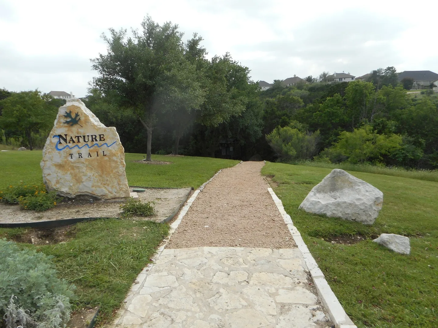
River Place Limited District marks the trail entrance before the route drops into its wooded canyon. River Place Limited District / Official website
River Place Nature Trail is the hardest workout in Austin that does not need a
gym. The route runs about three miles one way, through a canyon west of
downtown. The district that runs it counts 2,763 steps along the way. That
number is not a gimmick. You climb, you drop, you climb again. Most people are
ready to quit by the turnaround.
The fee is the catch. On weekends and holidays until 4 p.m., every hiker over
12 pays $10 at the trailhead. The kiosk takes cards only. There is no cash box
and nobody to make an exception.
Monday through Friday it is free, so an early
weekday start is the smart play. Hikers are expected on after sunrise and off
before sunset. The Friends of River Place Trail group says all trails are open
right now.
Bring more water than you think you need. Wear shoes with real tread. The
descent is where people get hurt. Gravity plus stone steps plus tired legs is a
bad mix. If your knees are already unhappy, turn back at the first long
staircase.
Heads up: the kiosk takes cards only. A dead phone or a forgotten wallet ends the weekend hike before it starts.
How it scored
Trail and terrain
4.9 out of 5
Shade and water
4.6 out of 5
Access and cost
4.0 out of 5
Key facts
Steps
2,763
Distance
About 3 miles one way
Hours
After sunrise, off before sunset
Payment
Card only at the trailhead
Dogs
Leash of 6 feet or shorter
Pros
Nothing else in town packs this much climbing into three miles
Free Monday through Friday
Open seven days a week, sunrise to sunset
Cons
Ten dollars a head on weekends and holidays until 4 p.m.
The only state park inside Austin city limits, and the easiest place in town to take a stroller onto a real trail.
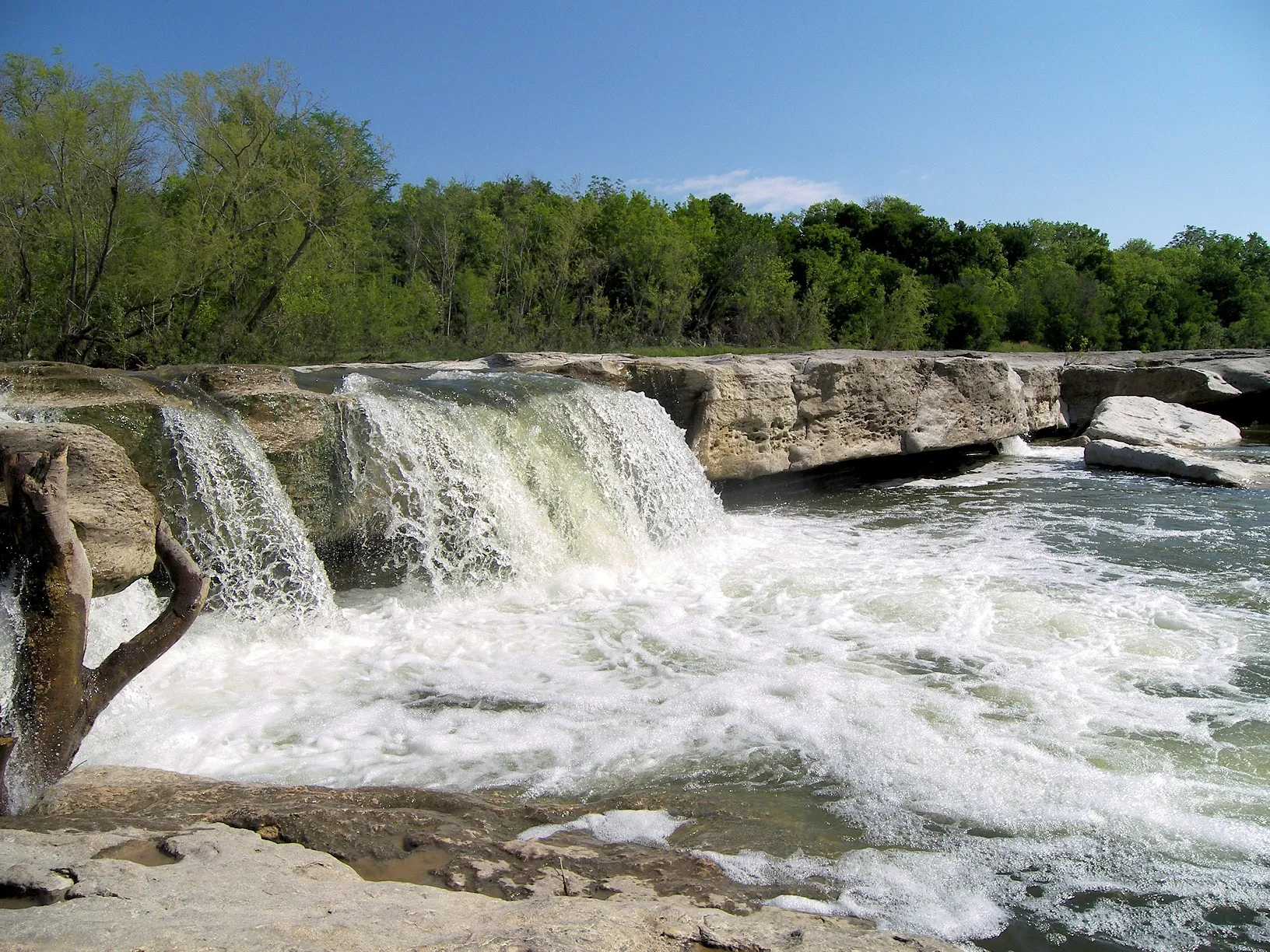
Lower McKinney Falls spreads Onion Creek across a broad limestone ledge a short walk from parking. Larry D. Moore / Wikimedia Commons (CC BY 4.0)
McKinney Falls is the only state park inside Austin city limits. It also solves
a problem the other trails here do not. Almost nine miles of trail run through
it. Of those, 2.8 miles are hard surfaced. A stroller or a road bike works fine
on that stretch. Families who gave up on the greenbelt boulders will find this
one works.
The falls are the draw. Onion Creek pours over two limestone shelves, upper and
lower. Both sit close enough to parking that a four year old can walk it. The
Rock Shelter Trail is hiking only and crosses the creek, so plan on wet feet.
Texas Parks and Wildlife warns that Onion Creek floods after heavy rain. One
call ahead saves a wasted drive in a wet week.
Book your day pass online before you go. The park’s alert page says passes sell
out every weekend and holiday. Once the count is full, the gate turns cars
away. Kids 12 and under get in free. Arrive near the 8 a.m. gate opening in
summer. By midmorning the limestone throws the heat back at you.
Plan ahead: reserve a day pass the night before. Weekend and holiday passes sell out, and the gate will turn you around.
How it scored
Trail and terrain
4.7 out of 5
Shade and water
4.8 out of 5
Access and cost
4.2 out of 5
Key facts
Address
5808 McKinney Falls Pkwy
Trails
Nearly 9 miles
Paved loop
Onion Creek Trail, 2.8 miles
Gate hours
Daily, 8a-10p
Kids
Free for ages 12 and under
Pros
Nearly nine miles of trail without leaving Austin
The 2.8 mile Onion Creek Trail is hard surfaced and takes a stroller
Upper and lower falls sit a short walk from parking
No. 4: Turkey Creek Trail at Emma Long Metropolitan Park
Austin★4.7(547 Google reviews)★Price: Free at the trailhead lot
Visit Austin puts this one on its dog friendly list, and the free lot sits outside the gate where the fees start.
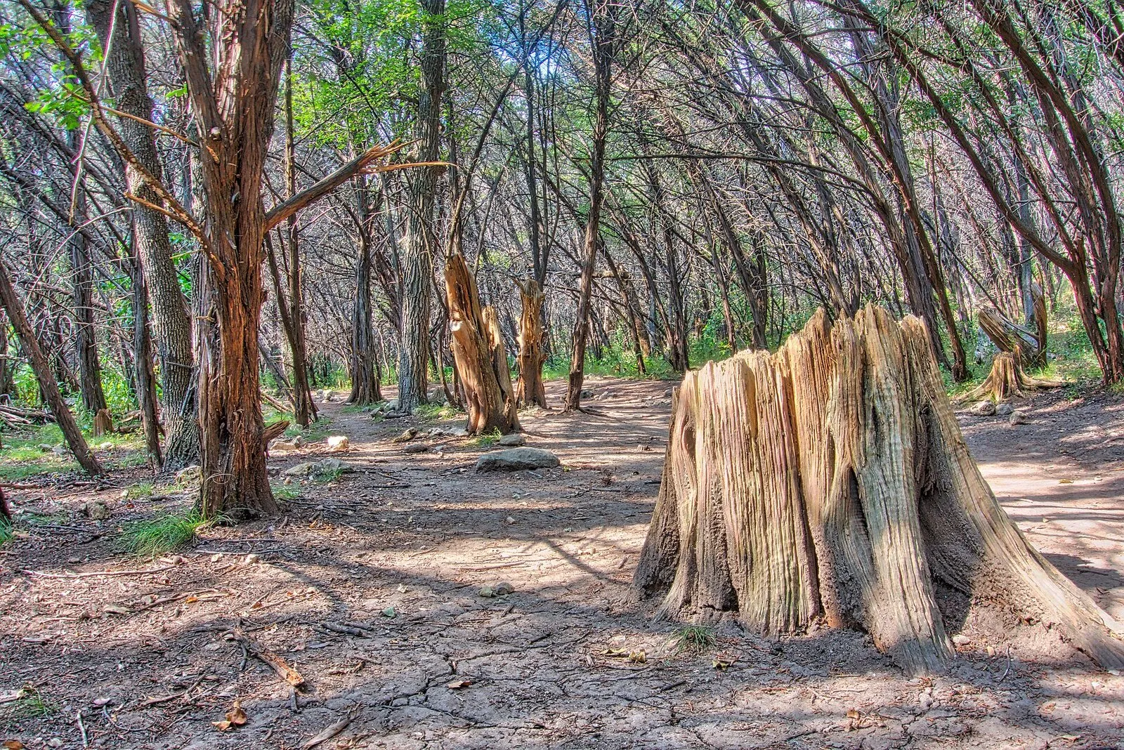
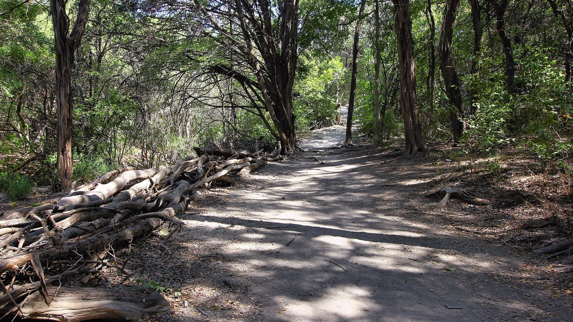
Cedar shade covers a dirt section of Turkey Creek Trail inside Emma Long Metropolitan Park. sbmeaper1 / Wikimedia Commons (CC0)
Turkey Creek Trail is the one Austin hikers name first when a dog is involved.
Visit Austin puts it on the city’s dog friendly list. The water is the reason.
The route crosses the creek several times as it loops through the woods at Emma
Long. A dog that overheats on pavement can cool off every few minutes. The city
rule is a leash six feet or shorter. Plenty of regulars treat the trail as
off-leash anyway.
Length depends on who is counting. Sources put the loop between 2.3 and about
2.9 miles. The walking is easy for most of it, with one steady climb on the way
back. Near the 1.5 mile mark, about half a mile sits in full sun. Get through
that part early on a hot day. There are no restrooms on the trail, and the
footing rules out strollers.
The trailhead lot sits about two miles before the park’s paid gate, so parking
there avoids the vehicle fee. Driving into the park costs $5 Monday through
Thursday and $10 Friday through
Sunday. One warning for this month: the park’s water is shut off from August
through October 2026. Portable toilets are in place instead.
Worth knowing: park at the free lot outside the gate, and the $5 to $10 vehicle fee never applies to you.
How it scored
Trail and terrain
4.5 out of 5
Shade and water
4.8 out of 5
Access and cost
4.6 out of 5
Key facts
Distance
About 2.3 to 2.9 miles
Hours
Daily, 7a-10p
Park entry
$5 Mon-Thu, $10 Fri-Sun per car
Dogs
City rule is leash, 6 feet or shorter
Heads up
Park water off Aug-Oct 2026
Pros
The trail crosses the creek again and again, so dogs stay cool
The trailhead lot sits before the paid gate
Open year round, 7 a.m. to 10 p.m.
Cons
About half a mile near the turnaround has no shade
No restrooms on the trail
Park water is shut off August through October 2026
Austin★4.6(655 Google reviews)★Price: Free on weekdays
Timed weekend passes cap the crowd, which makes this the quietest 227 acres in the city.
Wild Basin's waterfall runs beneath dense tree cover in the preserve's limestone canyon. Larry D. Moore / Wikimedia Commons (CC BY 4.0)
Wild Basin is the quietest walking on this list, and that is on purpose. St.
Edward’s University manages 227 acres of protected land on the Balcones Fault.
On weekends and federal holidays, entry runs on timed three hour passes.
Adults
pay $5. Kids 6 to 17 pay $3, and kids under 6 get in free. The system keeps the
trails from turning into a parade. Monday through Friday there is no fee and no
reservation.
The network covers somewhere between 2.5 and three miles. Sources differ. It
splits into shorter named routes, from about 0.6 miles up to nearly two. So you
can build a 40 minute walk or a two hour one from the same trailhead.
The
ground is real Hill Country. Rock underfoot, cedar and oak overhead. Overlooks
open up with no warning.
Two things to plan around. Dogs are not allowed, because the land is run as
habitat and not as a park. This is not the trail for a Saturday with the whole
household. The lot is small, and staff close the gate once it fills. Show up
near the 7 a.m. opening in summer and the canyon is mostly yours.
Leave the dog: pets are banned across the preserve. The land is managed as habitat, and the rule gets enforced.
Austinites have climbed the same limestone steps for the same view of the river since 1939.
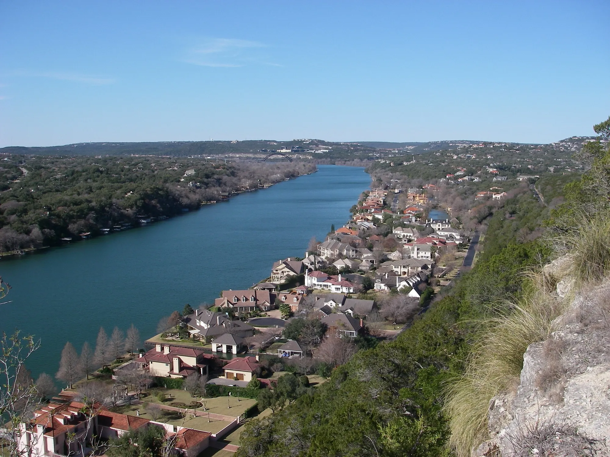
Mount Bonnell looks northwest over Lake Austin toward the Pennybacker Bridge. Leaflet / Wikimedia Commons (Public domain)
Mount Bonnell is barely a hike. It still belongs here. Nothing else in Austin
trades so little effort for so much view.
About 100 limestone steps, built in
1939, carry you up a promontory 775 feet above sea level. From the top you look
straight down at the Colorado River. The Hill Country spreads out west. Five
minutes of climbing, and that is the whole thing.
The history is real. The site became a Recorded Texas Historic Landmark in
1969. It joined the National Register of Historic Places in 2015. Since 2006 it
has been part of the Balcones Canyonlands Preserve, which protects more than
30,000 acres in Travis County. Austin families have taken the same photo from
the same stone pavilion for generations.
The parking lot is the problem. KUT has covered Austin’s park car burglary
problem for years, and Mount Bonnell comes up by name. A city camera pilot
worked better at smaller lots than at this one.
Take your wallet with you.
Leave nothing in sight. Go in the morning if you can. The overlook gets
shoulder to shoulder at sunset.
Watch your car: KUT’s reporting on Austin park break-ins names this lot. Carry your valuables up the steps with you.
How it scored
Trail and terrain
3.6 out of 5
Shade and water
3.8 out of 5
Access and cost
4.9 out of 5
Key facts
Height
775 feet above sea level
Steps
About 100, built in 1939
Hours
Daily, 5a-10p
Landmark
Recorded Texas Historic Landmark, 1969
Protected
Balcones Canyonlands Preserve since 2006
Pros
The biggest payoff for the least effort on this list
Free, and open from 5 a.m. to 10 p.m.
A historic landmark with a view of the Colorado River
Cons
The climb is over in about five minutes
The lot is one of the city's worst for car break-ins
A short, shaded walk that ends at water, with restrooms and trail work finished in 2024.
Bull Creek carves shallow pools and channels through the park's exposed limestone. Larry D. Moore / Wikimedia Commons (CC BY 4.0)
Bull Creek District Park is where west Austin goes for shade and water without
a long drive. The park covers about 48 acres along Bull Creek. Much of the
trail sits under tree cover. That matters more than it sounds when the forecast
says 101. Low falls spill into pools that people wade and swim in. Visit Austin
groups it with the greenbelt as one of the city’s free swimming spots.
The park is in better shape than it used to be. The city finished a round of
work in 2024. New restrooms, ADA trail access, better picnic areas and new
signs. The ribbon cutting was in September of that year. Construction started
in summer 2023, off a concept plan from 2017. It was a long wait for the
neighborhood.
Two things to watch. The crossings and the swimming both depend on recent rain.
A dry stretch turns the falls into damp rock. And the gravel lot has a
reputation. Reviewers mention broken glass on the ground and warn about
break-ins, which matches KUT’s reporting on greenbelt lots citywide. If you
keep going onto the Forest Ridge Trail next door, know that dogs are banned
there all year.
Check first: look at the creek level before you drive out. The falls and the pools vanish after two dry weeks.
How it scored
Trail and terrain
4.2 out of 5
Shade and water
4.8 out of 5
Access and cost
4.4 out of 5
Key facts
Address
6701 Lakewood Dr
Hours
Daily, 5a-10p
Size
About 48 acres
Upgraded
New restrooms and ADA trail work, 2024
Nearby rule
No dogs on the Forest Ridge Trail
Pros
Much of the trail sits under tree cover, rare this close in
Free swimming below the falls when the creek is up
Restrooms, picnic areas and signs were replaced in 2024
Cons
The gravel lot has broken glass and a break-in reputation
Water crossings depend on recent rain
The Forest Ridge Trail next door bans dogs all year
Fifteen miles of dirt trail sit behind a north Lamar parking lot, and most of Austin drives right past.
Walnut Creek's unpaved trail network branches through wooded sections of the 293-acre park. Larry D. Moore / Wikimedia Commons (CC BY 4.0)
Walnut Creek Metropolitan Park hides about 15 miles of dirt trail behind a lot
on North Lamar. Most of Austin drives past without noticing. The park runs 293
acres. The city bought the land in 1964 from the Gracy family farm, in country
the Tonkawa lived on long before that. Trails loop and branch through post oak
woods and along the creek. You can piece together a 30 minute walk, or spend a
whole morning without repeating yourself.
This is also the best north Austin pick for a dog. There is a marked off-leash
area. The trail system is wide enough that a dog can run without meeting a
stranger every 20 feet. Ball fields, courts, a playground and picnic areas
share the same entrance. That makes it easy to split up a group and meet back
at the car.
Bikes are the trade-off. Trailforks maps 65 mountain bike trails here, about 20
miles in all, with jumps and berms and rock gardens. Hikers should expect to
step aside. Roots and loose rock also rule out strollers. Bring a phone map.
There are enough junctions to put you a mile from where you thought you were.
Share the trail: mountain bikers ride the same network, and the fast lines come through blind corners. Listen for wheels.
The one trail here you can walk in street shoes, in a wheelchair, or at 11 p.m. after dinner downtown.
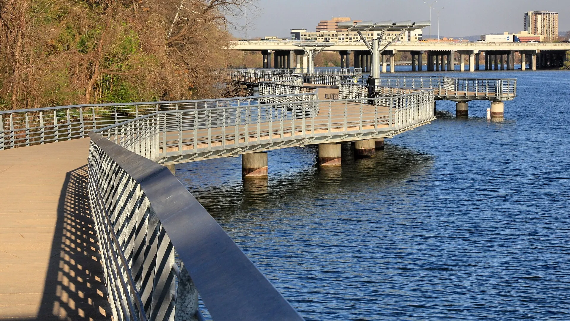
The Butler Trail boardwalk carries walkers and cyclists over the water along Lady Bird Lake's south shore. Larry D. Moore / Wikimedia Commons (CC BY 4.0)
The Butler Hike-and-Bike Trail is the least rugged thing on this list and the
most useful. Ten miles of crushed granite, concrete and boardwalk make a full
loop around Lady Bird Lake. Grades stay under 8 percent. There are ADA
entrances and rest areas along the way. The trail takes more than 2.6 million
visits a year. If someone in your group uses a wheelchair or a walker, this is
the one that includes them.
The boardwalk is worth planning around. It opened in June 2014 and cost $28
million. It runs 7,250 feet over the water on the south shore, with seven
viewing areas and a fishing pier.
Come back toward downtown at dusk. The
skyline lights up. The bats pour out from under the Congress Avenue bridge. It
is one of the better free things this city does.
Check the detour map first. Three construction projects touch the north shore
right now. Work near the Rainey Street I-35 bridge runs to 2033. A Brazos
Street project runs through March 2027. An Austin Energy duct bank upgrade near
the Austin Rowing Club pushes hikers onto Cesar Chavez Street.
KUT reported in
July 2026 that the reroute holds through summer 2027. The trail stays open. The
loop is not always a clean loop.
Best for: an evening walk with a stroller, a wheelchair, or anyone who wants distance without terrain.
How it scored
Trail and terrain
3.9 out of 5
Shade and water
4.0 out of 5
Access and cost
5.0 out of 5
Key facts
Loop
10 miles
Hours
Daily, 5a to midnight
Boardwalk
7,250 feet, opened June 2014
Yearly visits
More than 2.6 million
Grades
Under 8 percent
Pros
Grades stay under 8 percent, with ADA entrances and rest areas
The boardwalk runs out over the water for most of a mile
Open until midnight, which no other trail here is
Cons
Detours run downtown into 2027 and near Rainey Street into 2033
You share every foot of it with runners and cyclists
Volunteers turned 40 acres of weeds into native prairie, and the bird counts went up with it.
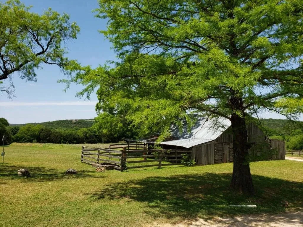
The old Resaca Ranch barn still stands beside the restored prairie at Commons Ford. City of Austin Parks and Recreation / Official website
Commons Ford Ranch is the quietest 215 acres in west Austin. It has the best
story behind it too. In 2010 a group of neighbors started pulling invasive
grass out of a 40 acre field. In 2016 they handed the work to Travis Audubon to
keep it going.
Invasive plants fell from 99 percent of the ground cover to 15
percent. The first bird survey, taken before the work, found one bird. The
first count after it passed 90.
For a hiker that means a walk you cannot get anywhere else in town. The prairie
loop crosses open native grassland that flowers through spring and early
summer. Then the path drops into oak woods and down to the Colorado River. A
boat ramp and a fishing spot sit at the bottom. A separate route, the Waterfall
Trail, runs a little over a mile. The city bought the land in 1983, and the old
Resaca Ranch barn and ranch house still stand near the entrance.
Come early and come with a plan. The prairie has almost no shade. That is the
point of a prairie, and it is also a real problem at noon in August. Parking is
capped. On big holiday weekends the city keeps cars inside the gate and tows
the ones left on Commons Ford Road. Dogs are welcome on a leash.
Time it right: walk the prairie in the first hour after the 5 a.m. opening, then finish in the shaded woods by the river.
How it scored
Trail and terrain
4.1 out of 5
Shade and water
3.9 out of 5
Access and cost
4.6 out of 5
Key facts
Address
614 N Commons Ford Rd
Size
215 acres
Prairie
40 restored acres, started 2010
Hours
Daily, 5a-10p
Dogs
Leashed only
Pros
215 acres with a boat ramp and river access
The prairie draws songbirds you will not see downtown
Eighty acres of creek bottom in far north Austin, best in spring when the water is still moving.
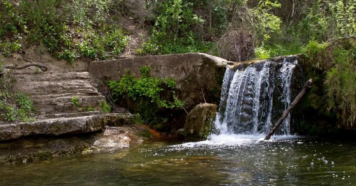
A shaded waterfall and swimming hole sit along Bull Creek in St. Edwards Park. Austin Parks Foundation / Official website
St. Edwards Park closes the list as the neighborhood hike that punches above
its size. Eighty acres follow Bull Creek through far north Austin. About 3.59
miles of trail split between two very different routes. The Creek Trail runs
flat and shaded, two miles round trip. The Hill Trail climbs out of the bottom
and pays you back with a view. Do both and you have a solid hour.
Water is why people come. Swimming holes sit along the creek. One is about a
three minute walk from the lot on Spicewood Springs Road. That makes it an easy
stop for a quick dip with a dog. The city added 10 acres here in 2021, with the
goal of linking the park to Bull Creek District Park. The walking should get
longer over time.
Know the limits before you drive out. The creek mostly dries up by midsummer.
July and August visits are about shade, not swimming. The trails are poorly
marked and cross each other often, so photograph the map at the trailhead.
The
lot is small and fills early. Overflow parking sits off Old Spicewood Springs
Road. Reviewers flag car break-ins here too.
Go in spring: the creek runs and the trails go green. The swimming holes are worth the drive in a way they are not in August.
How it scored
Trail and terrain
4.0 out of 5
Shade and water
4.4 out of 5
Access and cost
4.1 out of 5
Key facts
Trails
About 3.59 miles total
Creek Trail
2 miles round trip
Size
80 acres on Bull Creek
Added land
10 acres bought in 2021
Overflow parking
Old Spicewood Springs Rd
Pros
Two routes, one flat by the creek and one up the hill
Swimming holes sit a three minute walk from the lot
Free, with no gate and no fee
Cons
The creek mostly dries up by midsummer
Trails are poorly marked and cross each other often
The small lot fills early, and break-ins get reported
Barton Creek Greenbelt is the best hike in Austin. The main path runs about 7.5 miles, and the full network passes 12 miles. You get limestone cliffs, boulder scrambles and swimming holes the whole way. Several trailheads spread the crowd out. Every entrance but the Zilker lot is free, any day of the week.
Are there any hard hikes in Austin?
Yes. River Place Nature Trail is the hardest, with 2,763 steps in about three miles one way. It charges a fee on weekends. The Hill of Life, at the Trail's End entrance to Barton Creek Greenbelt, is the other tough one. It climbs 300 feet in half a mile. Locals train on both of them.
Do you have to pay to hike in Austin?
Most Austin trails are free, and the paid ones are only paid part of the time. River Place charges $10 a hiker on weekends and holidays until 4 p.m., but nothing on weekdays. Wild Basin is free Monday through Friday and $5 for adults on weekends. McKinney Falls charges $6 for adults all year.
What is the longest hiking trail in Austin?
The Violet Crown Trail is the longest, at roughly 19.7 finished miles on the way to a planned 30. On this list, the Ann and Roy Butler Hike-and-Bike Trail makes a 10 mile loop around Lady Bird Lake. Walnut Creek Metropolitan Park holds about 15 miles of connected dirt trail.
Where can I hike with my dog in Austin?
Turkey Creek Trail at Emma Long Metropolitan Park is the local favorite for dogs. It crosses the creek again and again, and most of the route is shaded. Walnut Creek Metropolitan Park has a marked off-leash area. Wild Basin bans pets, and dogs are not allowed on the Forest Ridge Trail near Bull Creek.
When is the best time of day to hike in Austin?
Go at sunrise from May through September. Most city parks open at 5 a.m. and Emma Long opens at 7 a.m. An early start beats the heat and the parking problem at once. In cooler months, late afternoon works well. Mount Bonnell at sunset is the one time a crowd is part of the point.
Sources & Methodology
We used the records, official pages and independent sources listed below to report and verify this guide. No source paid for placement.
–Google Maps ratings and review counts for all 11 entries, checked via Wanderlog place listings on 2026-08-02.
–Austin Parks and Recreation official park pages for Barton Creek Greenbelt, Emma Long Metropolitan Park, Commons Ford Ranch, Mayfield Park and the Violet Crown Trail, checked 2026-08-02.
–Austin Parks and Recreation facilities closures list, checked 2026-08-02.
–Texas Parks and Wildlife Department, McKinney Falls State Park park page and alert page, checked 2026-08-02.
–River Place Limited District trails page and Friends of River Place Trail FAQ, checked 2026-08-02.
Diego writes about road trips, state parks and the long empty stretches in between. His guides focus on routes, reservation rules, seasonal closures and practical access details.