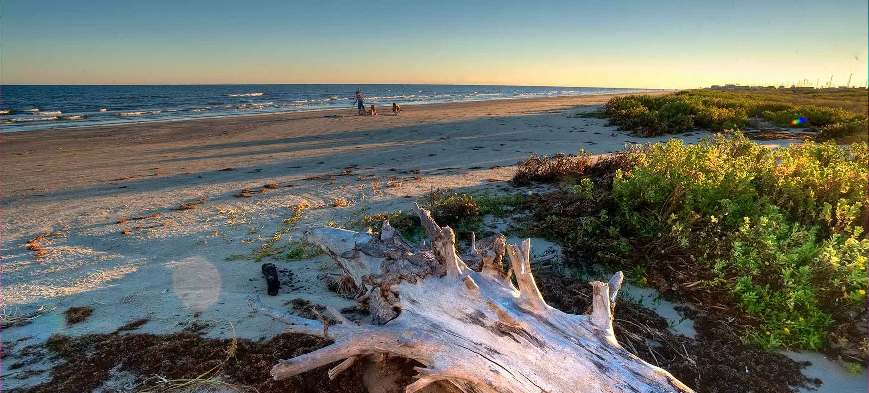
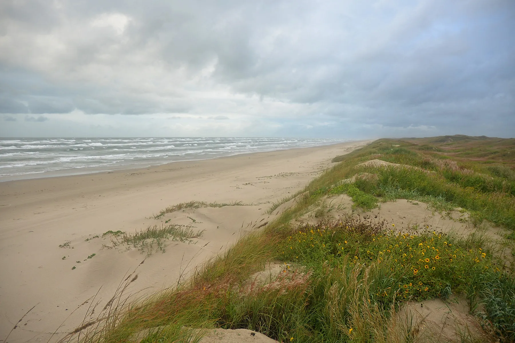
Start with current conditions, not a guarantee. Compare Isla Blanca, Malaquite and the other beaches below for access and facilities, then check beach cameras, surf forecasts and water-quality notices.
You have seen the blue-water photos. You may also have arrived at the same beach to find brown waves. Both can be real. Wind, waves, currents and sand stirred into the water can change the view fast.
There is no Texas beach that stays clear every day. This list helps you choose a place to check, not a guaranteed blue-water date. Look at a recent local beach camera, the National Weather Service beach forecast and Texas Beach Watch before you leave. Water color alone cannot tell you whether it is safe to swim.
At a Glance
The top of the ranking, side by side. Scroll sideways on a phone for price and rating.
Compare the places, locations and trip ideas in this guide.
We compared the places in this guide using their official room, activity and visitor pages. The details were checked on September 21, 2026. Our picks are based on that research; we have not visited every place.
1A useful fit for the trip. Each pick offers a clear reason to choose it, along with a limit worth knowing.
2Details you can check. The links lead to the hosts or park operators. Check your dates and the exact room before you book.
Rates and opening hours can change. Compare the full price for your party, including taxes and fees.
The places to compare
1
No. 1: Isla Blanca Park
South Padre Island
A South Padre beach day with park facilities.
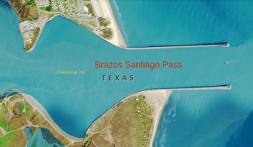
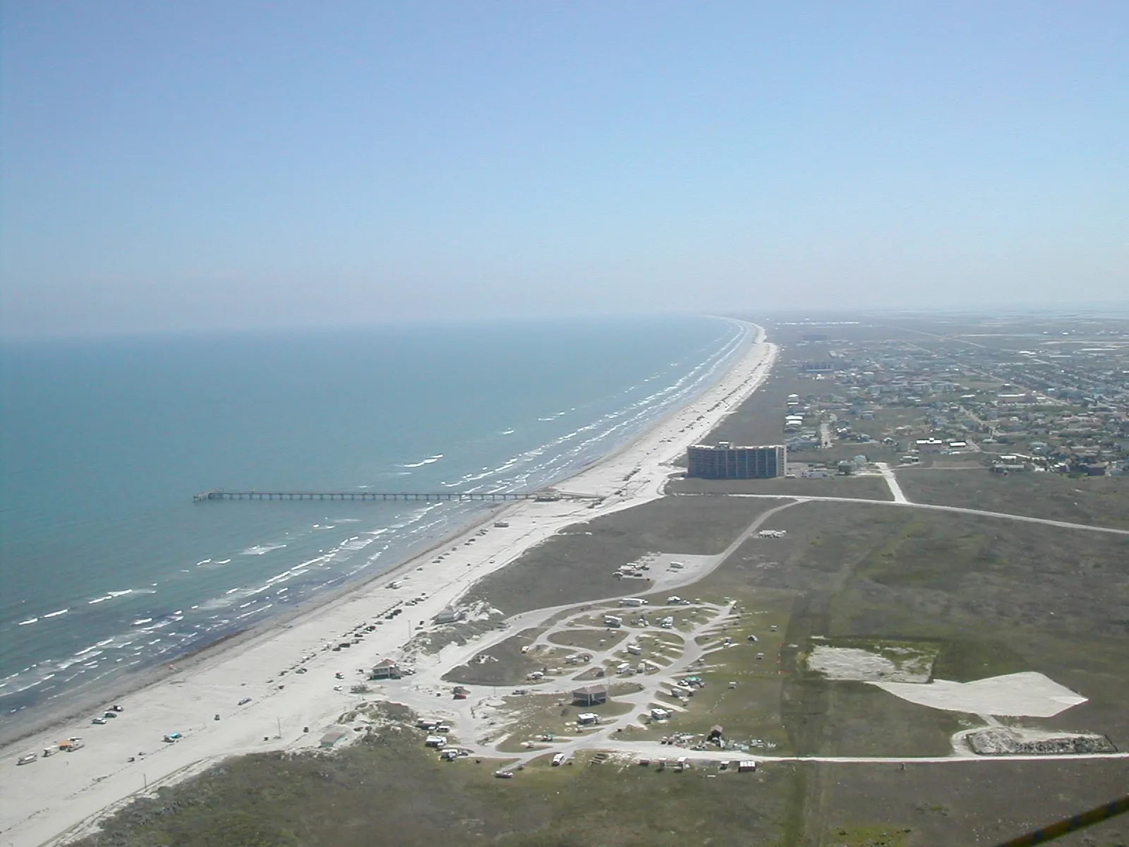
Aerial view of Isla Blanca Park beside Brazos Santiago Pass. Jphill19 / Wikimedia Commons (CC BY-SA 4.0; USGS base imagery)
Isla Blanca puts you at the southern end of South Padre Island, with a long Gulf-facing beach. It is a useful starting point for a trip that mixes sand time with the island’s food and lodging. Check a current beach view before setting your hopes on one shade of blue.
The county park is a managed beach stop, rather than a remote stretch where you bring every last thing. Still, pack shade, water and a plan for the heat. Follow the flags and posted notices when you arrive. The park gate fee and today’s surf conditions are separate checks.
Before you go: Check a same-day beach camera, not a photo from last season.
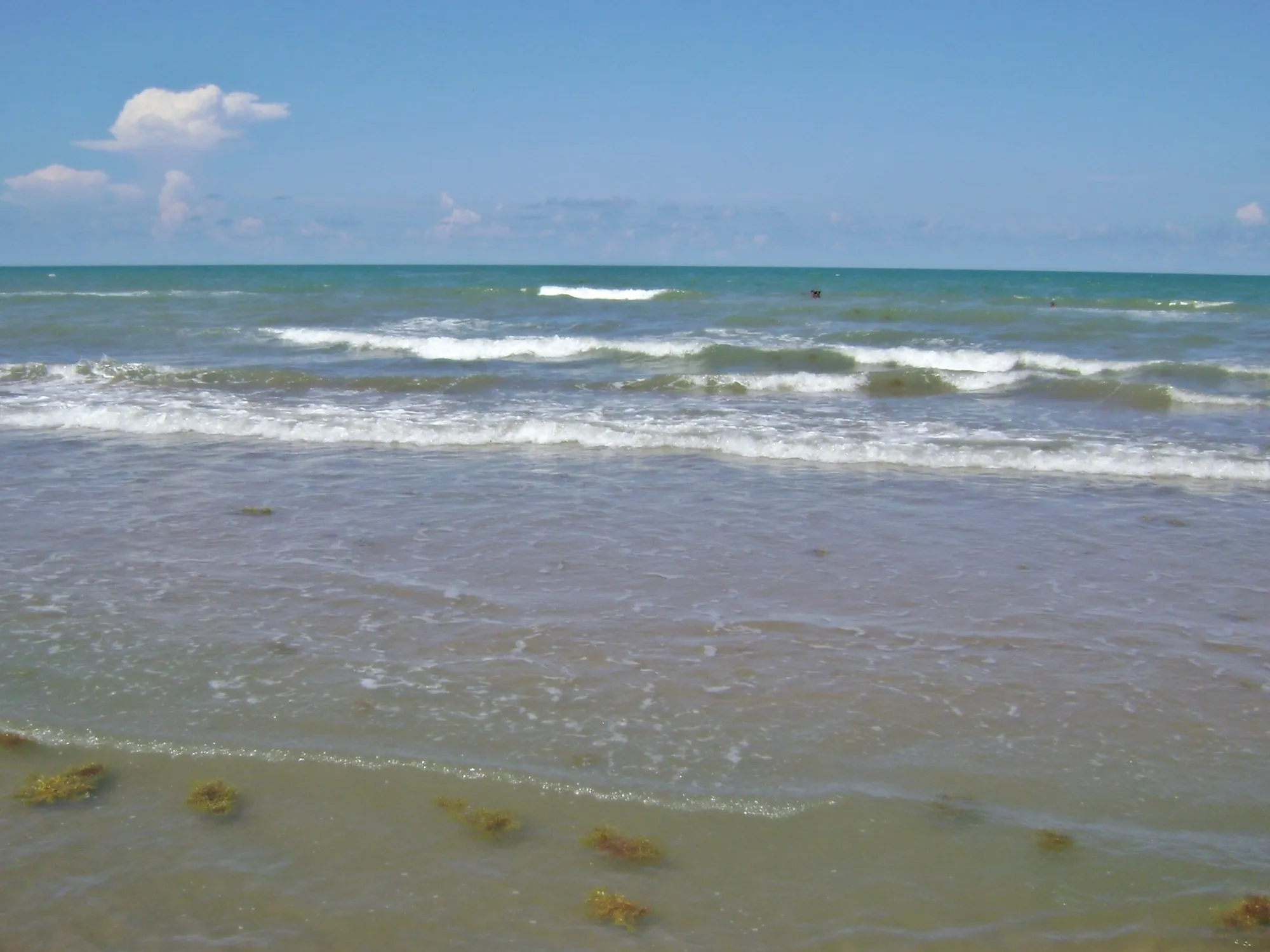
Surf at Boca Chica Beach in South Texas. Justin Hundsnurscher / Wikimedia Commons (Public domain)
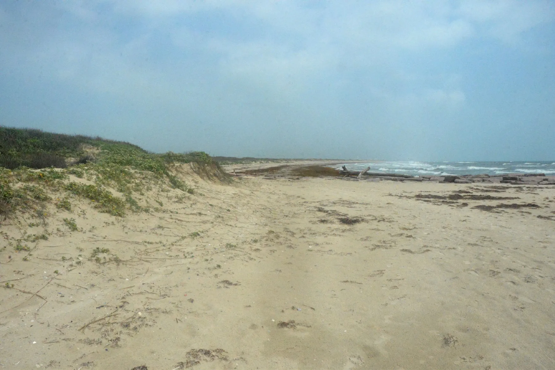
Boca Chica feels very different from a beach lined with hotels. The open shore is the draw, so bring what you need for the visit. A walk with the sea on one side can be plenty of a plan, even when the water is too rough to enter.
Access takes extra care. Cameron County can close Boca Chica Beach and Highway 4 for spaceflight activity. Check the county’s current notices before driving out, then check again that morning. Do not base the trip on an old closure date or assume an open road means safe swimming.
Before you go: Use the county closure page before leaving Brownsville.
No. 3: Malaquite Beach at Padre Island National Seashore
Corpus Christi
A beach walk without public vehicle traffic.
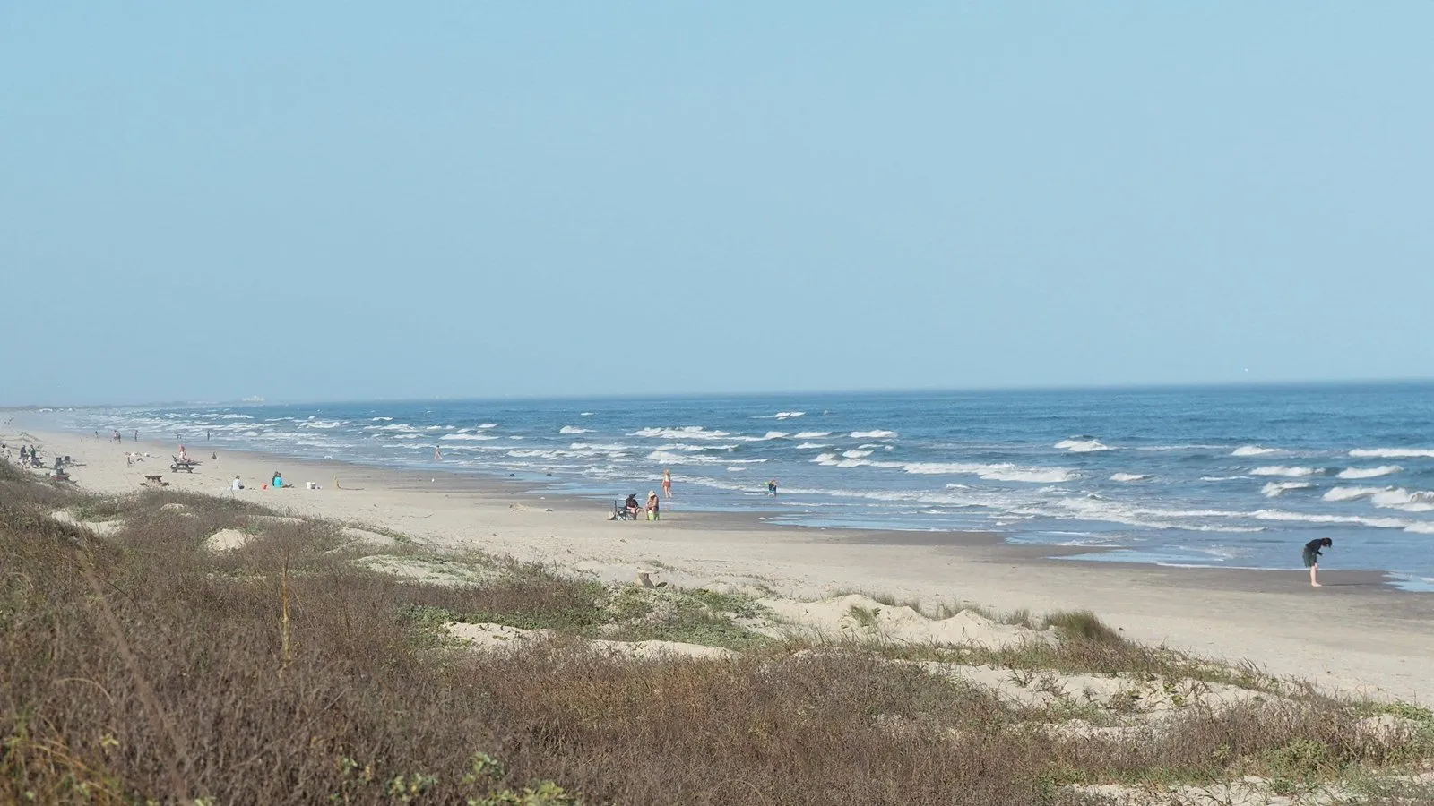
Dunes and beachgoers beside the Gulf at Malaquite Beach. Mimi Gorman / National Park Service (Public domain)
Malaquite Beach gives you a long vehicle-free stretch at Padre Island National Seashore. The visitor center is the easiest access point, with restrooms and cold-water showers nearby. It is a good fit when you want to walk the shore without keeping an eye out for passing cars.
The park does not have lifeguards here. Read the day’s surf warnings before going in, even if the water looks inviting. Beach wheelchairs and a walker can be borrowed from the visitor center. Check current park alerts as well as the forecast before making the drive.
Before you go: Start at the visitor center for conditions and beach access help.
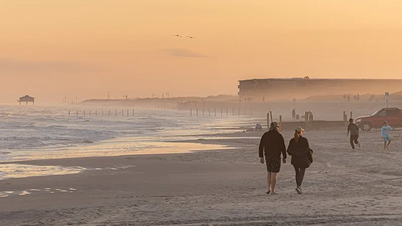
People walking along Whitecap Beach in the evening. City of Corpus Christi / Official website
Whitecap Beach sits at the end of Whitecap Road on North Padre Island. The city lists both a pedestrian-only shoreline and an area for cars. Pick the part that suits your group, especially if children will be running between the towels and the water.
This is a practical beach to check when you are staying in the Corpus Christi area. The Gulf can still turn cloudy or rough here. Look up the local forecast, then read the signs for parking and driving where you enter. A bright beach photo does not replace either check.
Before you go: Find the pedestrian section if you want a car-free patch of sand.
Open sand and dunes at Mustang Island State Park. William L. Farr / Wikimedia Commons (CC BY 4.0)
Mustang Island State Park has more than five miles of coastline. Beach walks, birding and camping give the trip room to change if swimming is off the table. The park also has bayside paddling trails, which are a different outing from the Gulf beach.
Reserve a day pass before a busy visit, since the park can fill up. Toilets are placed along part of the beach, with full restrooms and hot showers near the water-and-electric campground. Check the active alerts before arriving. Wind and surf still decide what the water looks like.
Before you go: Keep a birding walk in mind if the surf is rough.
San José Island, across the channel from Port Aransas. Agsftw / Wikimedia Commons (Public domain)
San José Island adds a small boat trip to the beach day. The passenger ferry leaves from Fisherman’s Wharf in Port Aransas. Public access is to the beach; the island itself is private. Go for the walk and the open shore rather than expecting a row of beach bars.
There are no public facilities or shops to fill gaps in your packing. Bring water, food and shade, and know the return boat times before stepping off. This extra planning will not guarantee clear water. It does make the visit much more pleasant if you decide to stay on the sand.
Before you go: Check the last return boat before choosing your outbound trip.
Port Aransas Beach on Mustang Island. dwh1974@hotmail.com / Wikimedia Commons (CC BY 3.0)
Port Aransas works well when you want the beach and a town around it. You can give the morning to the shore, then head back for food or a break from the sun. That is useful on a trip where the water may look different each day.
Check the beach parking rules for the section you use. The town’s beach page also links to local information for planning the day. For a couples trip, keep the schedule loose enough for a second walk when the light changes. For a family trip, a short first visit can help you find your spot.
Before you go: Choose your beach access point before loading the car.
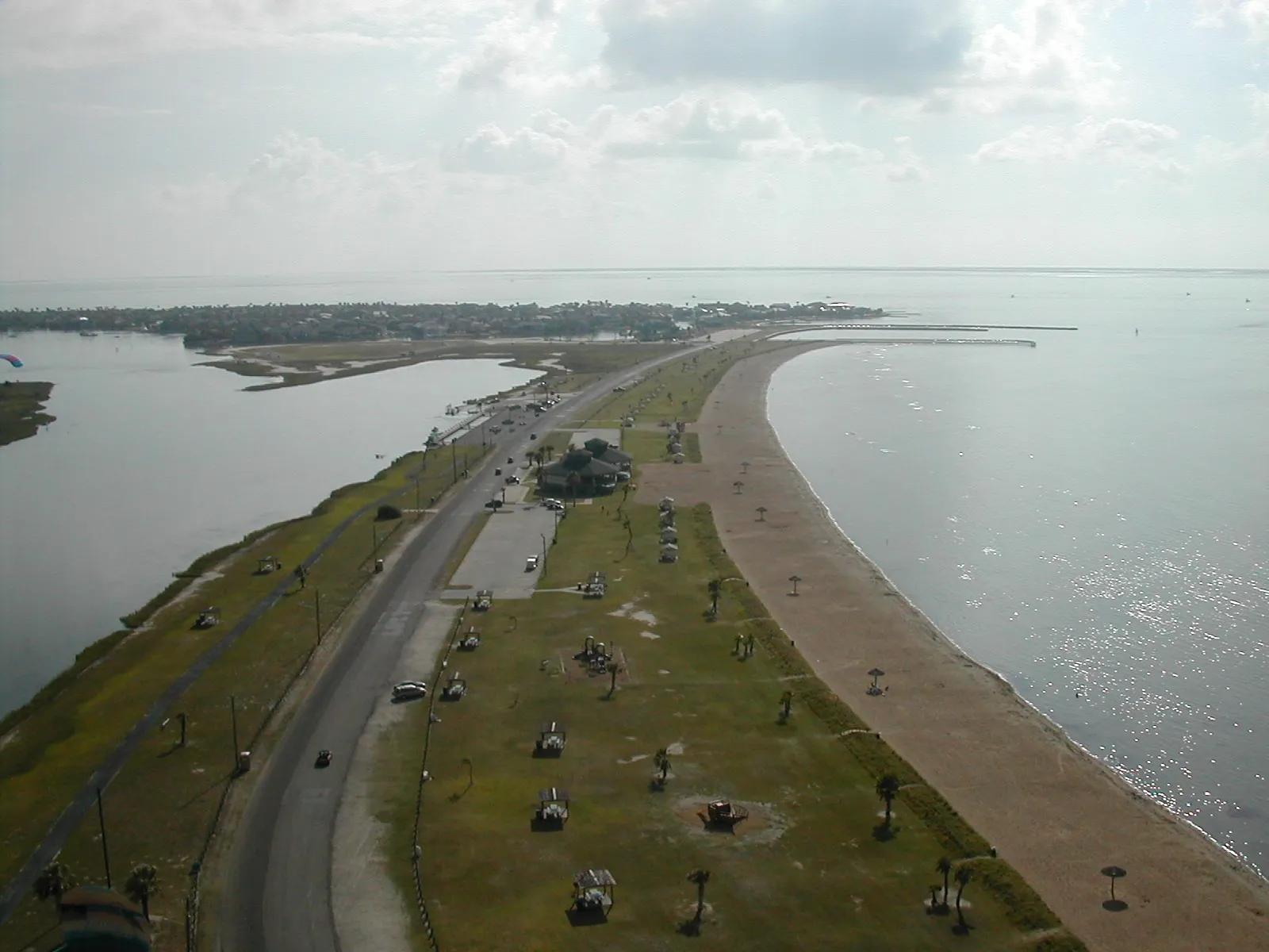
Aerial view of Rockport Beach curving along Aransas Bay. dwh1974@hotmail.com / Wikimedia Commons (CC BY 3.0)
Rockport Beach faces the bay, so it offers a different setting from the open Gulf beaches on this list. The park has shallow water, picnic areas and nearby downtown shops. It is a useful option when your group wants a beach visit with a few easy stops around it.
Shallow does not mean risk-free, and bay water is not always clear. Keep an eye on children and check current water-quality notices before wading in. The beach’s Blue Wave program is about responsible beach management. It is not a promise about today’s water color or conditions.
Before you go: Check the latest sampling report as well as the weather.
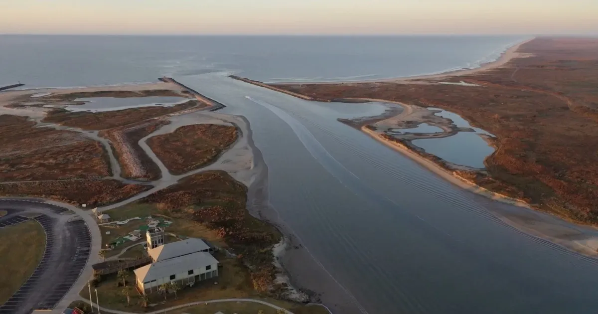
The river meets the Gulf at Matagorda Bay Nature Park. Matagorda Beach / Official website
Matagorda Bay Nature Park sits where the Colorado River reaches the Gulf. That meeting of river and sea is a fine place for a walk, birding or a beach day. It is also a reason to keep your water-color hopes flexible. Choose the trip for the whole coast, not one blue photo.
The park has restrooms, showers and places to stay. At our September 2026 check, LCRA warned of beach restoration work nearby, with completion expected in early 2027. Read the live alert before booking. Leave the river mouth and jetties out of your swimming plans.
Before you go: Read the park alert for work that may affect your dates.
Driftwood and low dunes beside the beach at Galveston Island State Park. Texas Parks and Wildlife Department / Official website
Galveston Island State Park has both Gulf and bay sides. The beach gives you surf and sand, while trails and marsh boardwalks make a good change of pace. Pack for both. A day can still go well when the water is not the blue you had hoped for.
Galveston’s water color can shift with winds, currents and sediment. That is why a recent view helps more than a season-wide promise. The park can also fill up, so reserve entry for busy dates. Check surf and water-quality notices before you trade the trail shoes for a swimsuit.
Before you go: Save time for the marsh side if the Gulf is rough.
None. Wind, waves, currents and sediment can change water color and visibility. Check recent beach cameras and local reports for the place you plan to visit.
Does clear water mean it is safe to swim?
No. Water color does not show bacteria levels or rule out dangerous currents. Check Texas Beach Watch, the local beach forecast, flags and lifeguard advice.
What is the best month for clear water?
There is no month that guarantees clear water along the whole Texas coast. Conditions on the day matter more than a simple calendar rule. Plan other things to do nearby.
Sources & Methodology
We used the records, official pages and independent sources listed below to report and verify this guide. No source paid for placement.
Diego writes about road trips, state parks and the long empty stretches in between. His guides focus on routes, reservation rules, seasonal closures and practical access details.