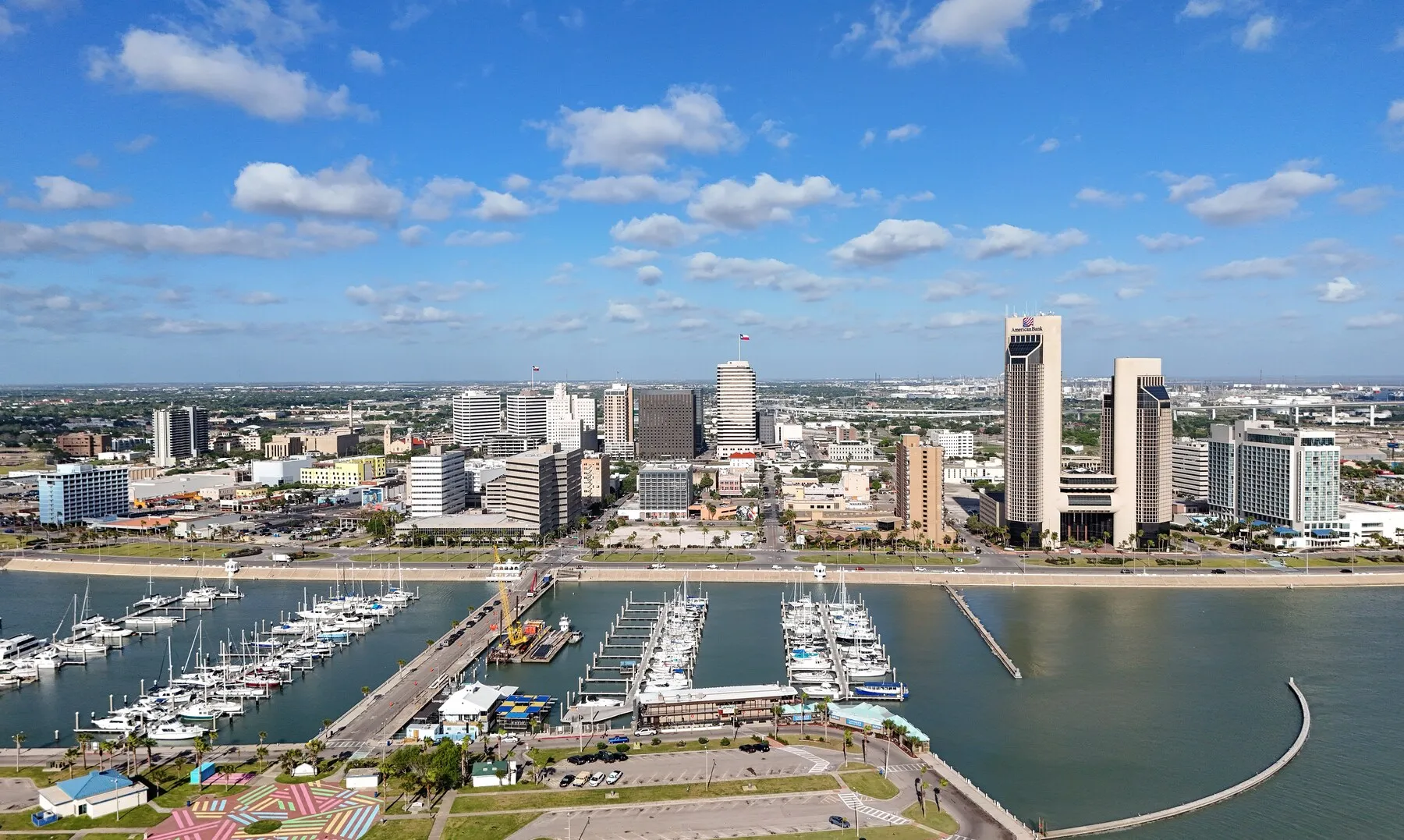
The 8 Best Drone Mapping Companies in Corpus Christi, TX
The useful shortlist is not eight versions of the same pilot. It includes a local mapping specialist, registered survey firms, marine surveyors and inspection crews, each suited to a different job.
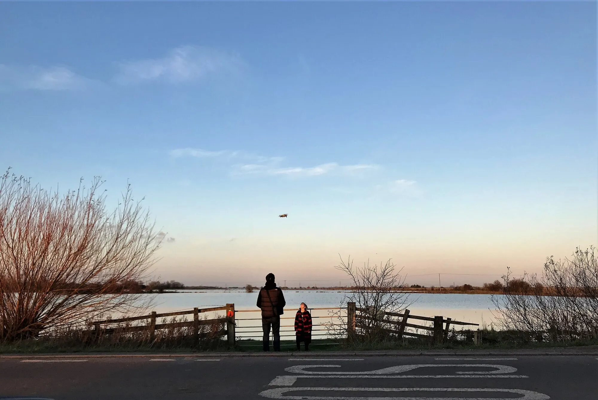
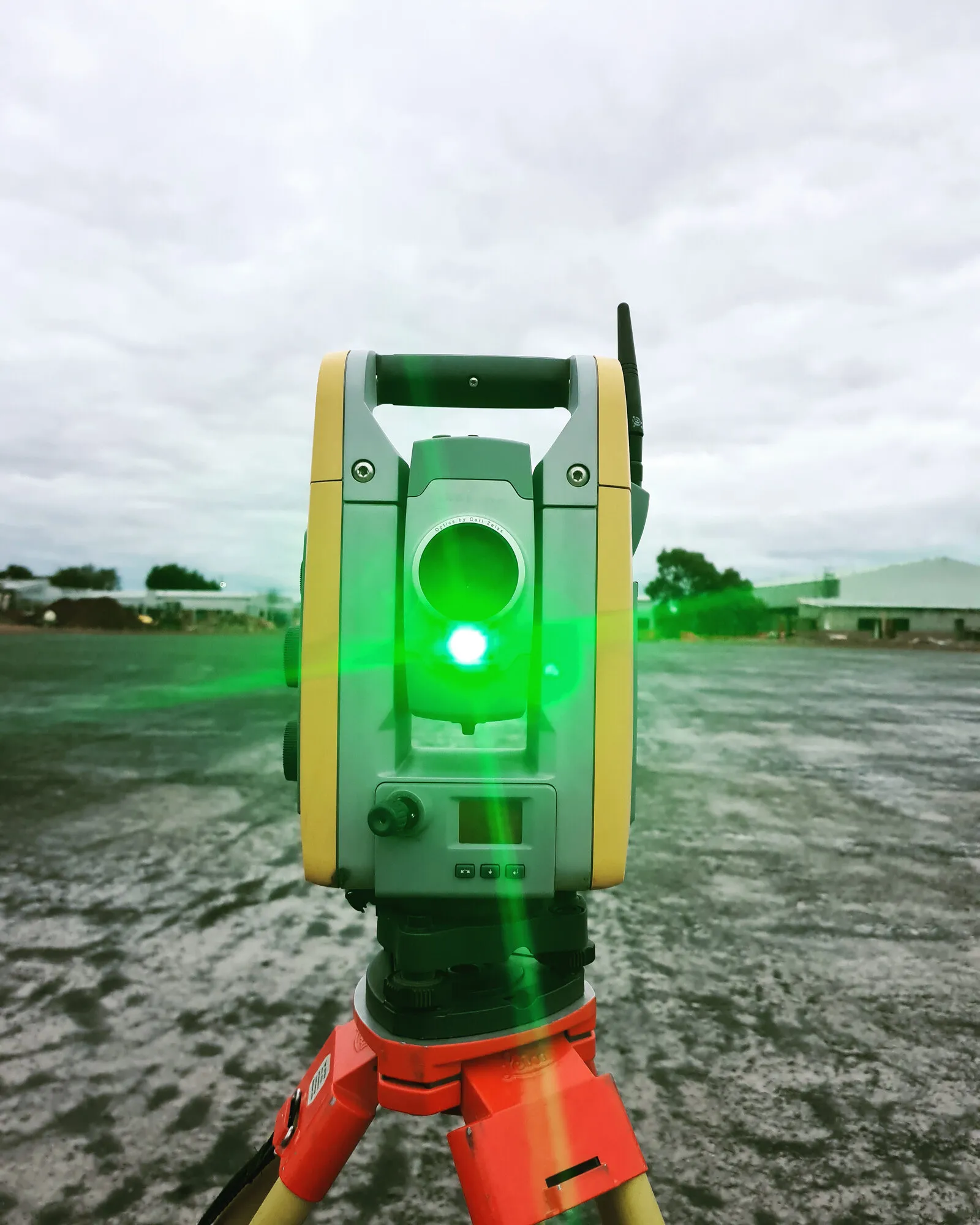
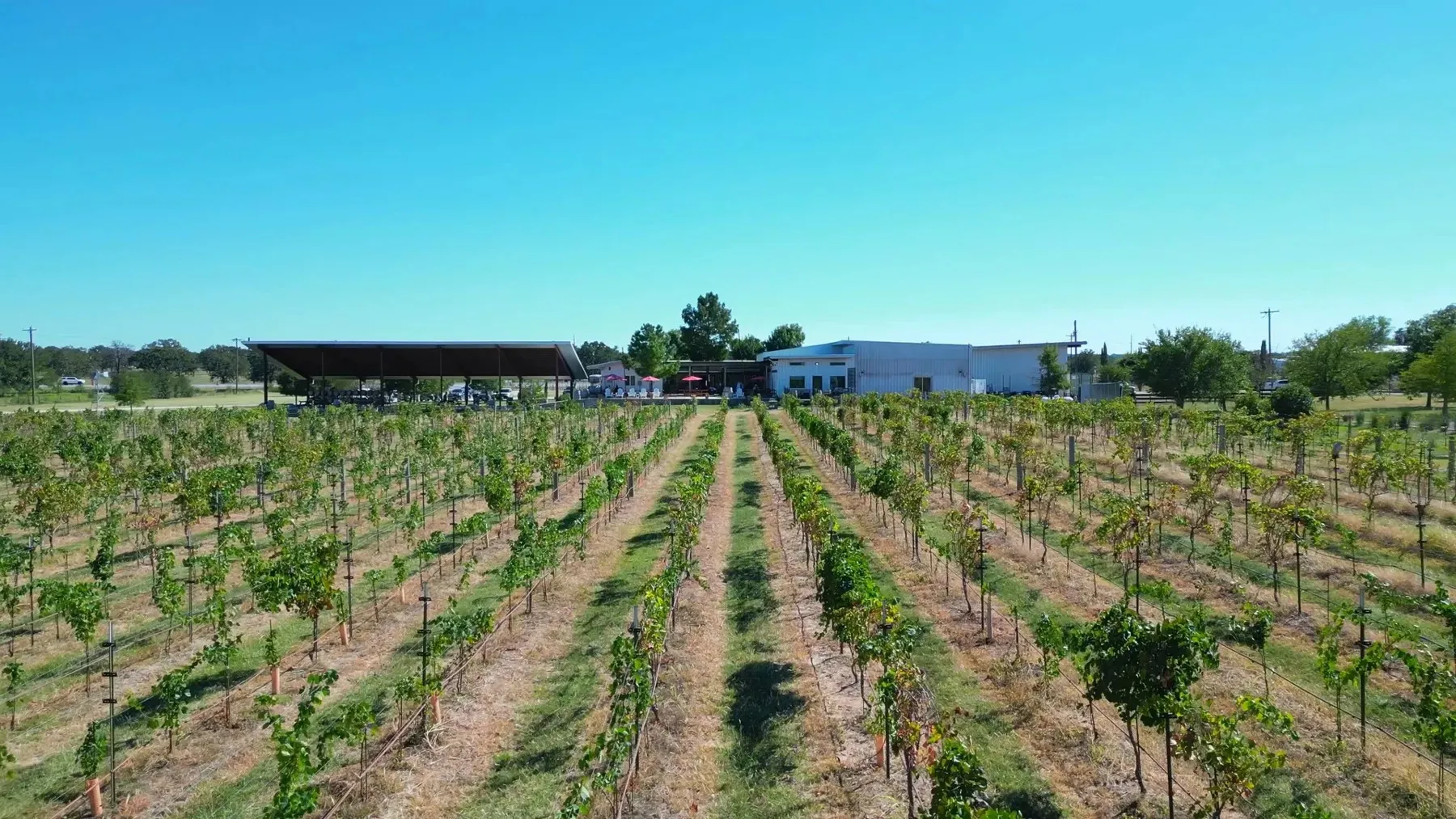
Drone mapping can cover wet or difficult ground without putting a survey crew in every part of the site. This licensed file photo is illustrative, not a Corpus Christi project. Richard Humphrey / Geograph via Wikimedia Commons (CC BY-SA 2.0)
Skyline Drone Mapping is our top overall choice for a standard Corpus Christi mapping job because it is locally based, explains its RTK, PPK and ground-control workflow, and publishes a useful list of outputs and typical turnaround times. A project that needs a signed boundary, easement or other regulated survey should start with a Texas registered surveying firm such as Bayside, Frontier, CivilCorp, Eby or Davis Family Surveying through AeroFrohne.
Top overall
Skyline Drone Mapping: the clearest local mapping workflow and deliverable menu.
Best local survey firm
Bayside Surveying: a Corpus Christi RPLS who is also an FAA remote pilot.
Best for energy corridors
Frontier Surveying: long experience with pipeline, oil and gas, GIS and land work.
Best for marine work
Lanier & Associates: hydrographic, LiDAR and port-side surveying from a Corpus Christi office.
Drone mapping is easy to buy badly. A pilot can return hundreds of sharp pictures that never line up with your engineer’s coordinate system. A survey firm can deliver a defensible surface model while offering far more process than a simple roof inspection needs. The right choice starts with the file and decision at the end, not the aircraft at the beginning.
Corpus Christi adds its own constraints. Controlled airspace covers part of the city. Port property has a separate unmanned-aircraft rule. Industrial sites can trigger access and security planning. Coastal wind, flat terrain, standing water and tall marsh grass can all change the flight or the quality checks.
We checked eight firms with a local base, a metro office or a clear Corpus Christi service page. The ranking favors companies that say what they deliver, explain who handles regulated survey work and show a reason to hire them for a particular job.
At a Glance
The top of the ranking, side by side. Scroll sideways on a phone for price and rating.
Eight drone mapping and surveying companies serving Corpus Christi, compared by editorial score, specialty, base and pricing model.
We scored each company on four things that matter on a Coastal Bend job:
1Corpus Christi fit A verified local office or base scored highest. A clear Coastal Bend service page counted, but we did not turn a service-area page into a local office claim.
2Mapping depth We looked for named outputs such as orthomosaics, point clouds, terrain models, CAD files, thermal reports and volume calculations, not a vague promise of aerial data.
3Survey and QA clarity We checked Texas surveying-firm records, named RPLS credentials, FAA pilot claims, and explanations of RTK, PPK, ground control or quality checks. No single label proves that a deliverable fits every legal use.
4Project fit We rewarded a clear specialty, whether that was construction progress, boundary work, energy corridors, ports, thermal inspection or complex reality capture.
These are editorial scores, not customer-review averages. We checked the companies' current service and contact pages, Texas surveying records, FAA rules and local operating constraints on September 2, 2026. We did not hire the firms or field-test their accuracy. No company paid for placement.
Corpus Christi drone mapping companies, ranked
Scores reflect verified public information, not customer-review averages. Match the firm to the final deliverable, not just the flight.
1
No. 1: Skyline Drone Mapping
Corpus Christi★4.8(Editorial score)★Price: Quote only
The best starting point for orthomosaics, terrain models and construction mapping when the job does not begin as a boundary survey.
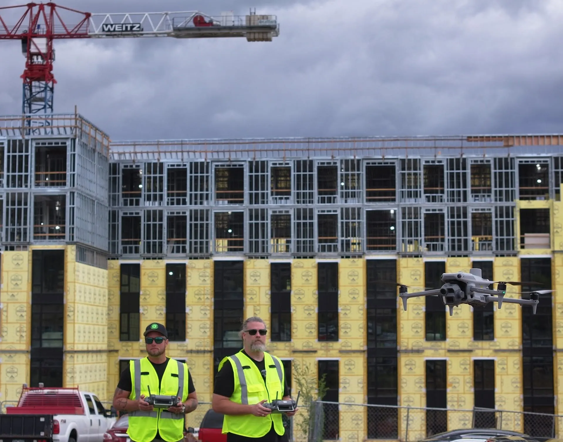
Skyline's supplied photo shows the kind of active-site work behind its construction mapping service. Skyline Drone Mapping / supplied image
Skyline Drone Mapping is the cleanest fit for a normal local mapping brief. Its Corpus Christi service page names the files, processing software and control methods a project manager should ask about. The company lists orthomosaics, point clouds, contours, digital surface models and bare-earth terrain models. It also says it uses RTK, PPK and ground control when the job calls for them.
That level of detail matters. It lets an engineer or contractor compare the promised output with the software that will receive it. Skyline says standard projects usually take 5 to 7 business days, while larger sites and LiDAR work usually take 10 to 14. Treat those figures as a starting point for the quote, since acreage, access and airspace can change the schedule.
The company also draws a useful legal line. It says it does not perform boundary or legal land surveys, and that it works with licensed surveyors when a sealed product is required. That is more helpful than calling every map survey-grade.
Ask for the coordinate reference system, horizontal and vertical accuracy targets, checkpoint report and exact delivery formats in writing. If those four items are clear, Skyline is the strongest first call for construction progress, site planning, stockpile work or an orthomosaic around Corpus Christi.
Best for: a local mapping job with clearly defined engineering or construction files.
How it scored
Corpus fit
5.0 out of 5
Mapping depth
5.0 out of 5
Survey and QA
4.6 out of 5
Project fit
4.7 out of 5
Key facts
Base
Corpus Christi
Outputs listed
Orthomosaics, DSM, DTM, point clouds, contours
Control
RTK, PPK and ground control points
Standard timing
5 to 7 business days claimed
Survey role
Works with licensed surveyors when a sealed product is needed
Pros
Publishes the clearest local list of mapping files and control methods
Explains its Pix4D processing and quality checks
States typical timing for standard and larger jobs
Cons
Does not perform boundary or legal land surveys itself
Final accuracy still depends on the written control and checkpoint plan
Corpus Christi★4.6(Editorial score)★Price: Quote only
A one-surveyor Corpus Christi practice that joins licensed land-survey work with in-house drone capture.
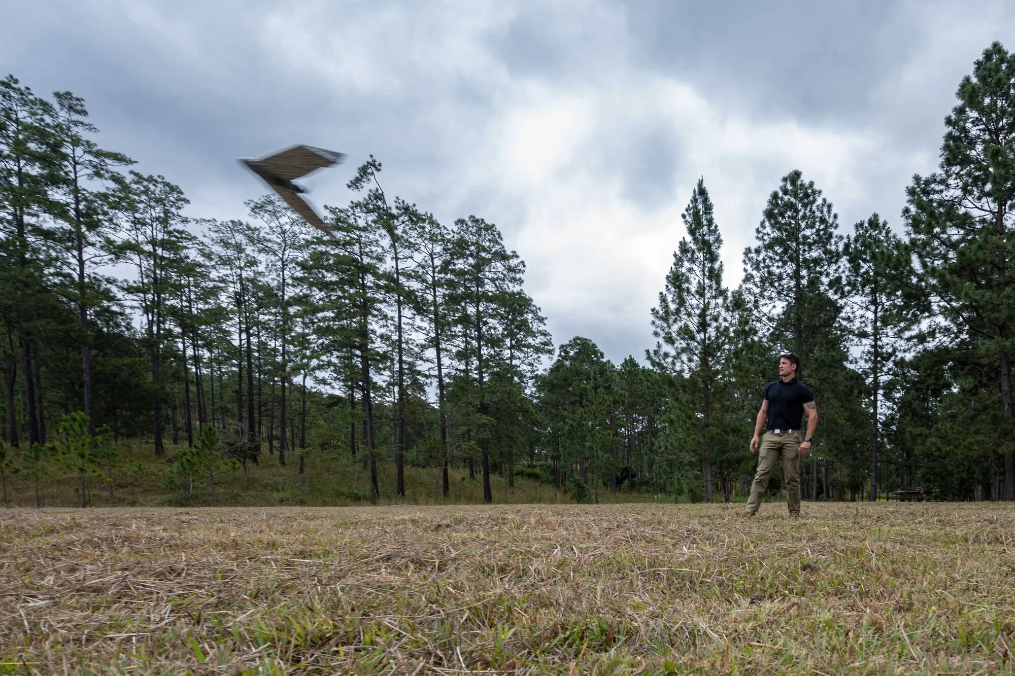
Fixed-wing survey drones can cover large open sites efficiently. This public-domain military engineering photo is illustrative, not a Bayside project. Tech. Sgt. Nicolas Erwin / U.S. Air Force via Wikimedia Commons (public domain)
Bayside Surveying is the most direct local answer when the work needs both a drone pilot and a Texas land surveyor. Jordan Max Guerra is listed as RPLS 7059, and the company’s drone page identifies Max Guerra as an FAA remote pilot. The practice lists DTM and TIFF files, georeferenced imagery, point clouds, LiDAR, earthwork volumes and inspection work.
Its small size is part of the appeal. The person responsible for the survey is close to the capture and processing decisions, so there are fewer handoffs to explain. Bayside says it can cover up to 400 acres with its drone workflow. Acreage alone does not set the price, but that claim makes it worth asking about ranch, subdivision and industrial tracts.
The same small size is the main caveat. Bayside’s contact page says Guerra is the sole employee and that its mailing address is not a storefront. On a time-sensitive or repeated-flight contract, ask who provides field backup and how weather delays are rescheduled.
Choose Bayside when survey responsibility matters more than a large production team. Put the legal purpose, property limits, title material and required seal in the request before asking for a price.
Best for: a local project that needs one RPLS close to both capture and final survey work.
How it scored
Corpus fit
5.0 out of 5
Mapping depth
4.5 out of 5
Survey and QA
4.8 out of 5
Project fit
4.1 out of 5
Key facts
Base
Corpus Christi
Surveyor
Jordan Max Guerra, RPLS 7059
Drone lead
Max Guerra, FAA remote pilot
Outputs listed
DTM, TIFF, point clouds, LiDAR and volumes
Firm model
Sole-employee surveying practice
Pros
Keeps the licensed surveyor and drone pilot inside one small practice
Lists mapping, LiDAR, volume and inspection work
Says its drone workflow can cover sites up to 400 acres
Cons
A one-person practice may have less scheduling depth during busy periods
A long-running Coastal Bend survey firm with UAV, pipeline, GIS, hydrographic and laser-scanning capability.
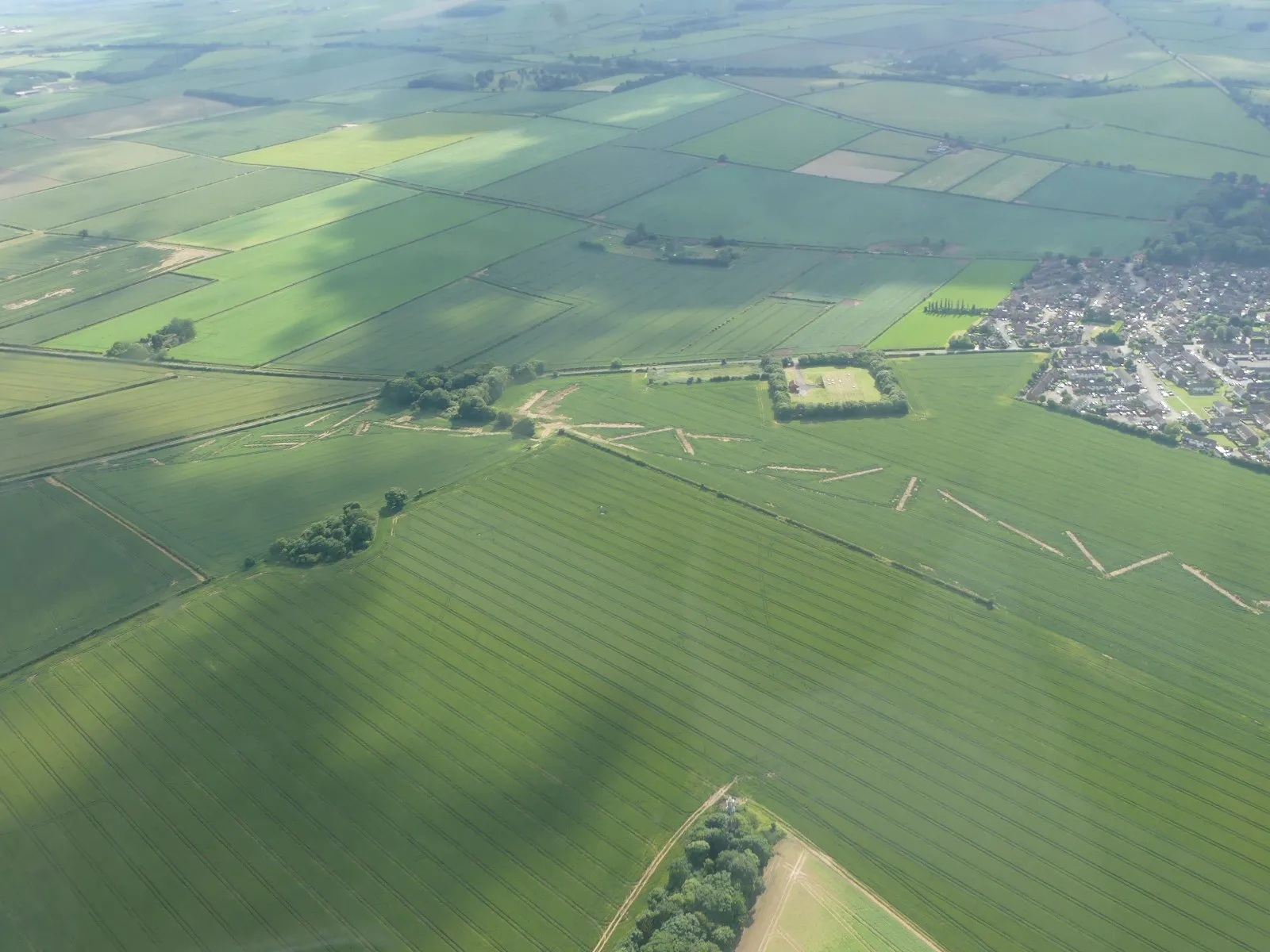
Linear energy projects reward a firm that can connect aerial data with land and right-of-way work. This licensed image is illustrative, not a Frontier project. Chris / Geograph via Wikimedia Commons (CC BY-SA 2.0)
Frontier Surveying is built for a job that keeps going after the drone lands. The Texas registered firm dates to 1979 and lists pipeline, oil and gas, GIS, hydrographic, laser scanning and land-survey services alongside UAV work. Its drone page names 3D maps and models, aerials, volume calculations and topographic mapping.
That mix suits long corridors and industrial sites. A pipeline or right-of-way assignment may need title research, control, easement exhibits, construction staking and as-built data in addition to imagery. Frontier can keep more of that work inside one survey firm.
Location needs a careful note. Frontier’s current contact information places its office in Portland, across the bay in the Corpus Christi metro. An older credentials page still shows a Corpus Christi address. We used the current contact location and would confirm the mobilization point in the proposal.
The company does not post standard drone turnaround or resolution targets. Ask for the flight method, ground sampling distance, control network and file list, then name the stations or CAD environment that must ingest the results.
Best for: pipeline, right-of-way and energy work that needs more than an aerial map.
How it scored
Corpus fit
4.6 out of 5
Mapping depth
4.4 out of 5
Survey and QA
4.8 out of 5
Project fit
4.2 out of 5
Key facts
Current base
Portland, in the Corpus Christi metro
Founded
1979
Texas firm
Surveying firm 10082900
UAV work
3D maps, models, aerials, volumes and topography
Other depth
Pipeline, oil and gas, GIS, hydrographic and laser scanning
Pros
Broad survey bench for projects that extend beyond the flight itself
Strong fit for pipelines, rights of way and energy sites
Registered Texas surveying firm with a long operating history
Cons
The current contact page places the office in Portland, not Corpus Christi
Public pages do not state standard drone turnaround or file-resolution targets
Corpus Christi★4.4(Editorial score)★Price: Quote only
A Corpus Christi engineering and surveying office that can carry drone data into control, design, construction and GIS work.
Ground control ties aerial data to the coordinates used for design and construction. This licensed image is illustrative, not a CivilCorp project. Cvstr (HR Surveyors) / Wikimedia Commons (CC BY 4.0)
CivilCorp makes sense when the map is one input to a larger civil project. Its Corpus Christi office offers land surveying, civil engineering and GIS. The survey list includes drones, GPS and control, topographic, boundary, hydrographic, progress and construction services.
That range can remove a contract boundary. The same team that establishes control can carry the surface into grading, drainage, utilities or construction documents. It is especially useful when the owner wants one consultant responsible for both the base data and the design decisions that follow.
CivilCorp’s public drone detail is thin compared with Skyline’s. The company does not name standard orthomosaic, point-cloud or terrain-model formats on the land-survey page. It also does not publish a usual drone schedule. Those are questions for the proposal, not reasons to dismiss the firm.
The current page lists Texas surveying firm number 10193783. The source draft carried a different number, so we corrected it against the company’s present site. Confirm the entity and seal again in the contract if the work will be used as a regulated survey.
Best for: a civil design project where the map should flow straight into engineering work.
How it scored
Corpus fit
4.7 out of 5
Mapping depth
4.1 out of 5
Survey and QA
4.8 out of 5
Project fit
4.0 out of 5
Key facts
Office
801 Lipan Street, Corpus Christi
Texas firm
Surveying firm 10193783
Survey services
Drone, control, topographic, boundary and hydrographic
Other services
Civil engineering, GIS and construction-phase work
Pros
Local office can pair survey data with civil engineering and GIS
Offers boundary, topographic, hydrographic and control surveying
Useful when mapping must feed a larger design package
Cons
The public survey page gives few details about drone-specific outputs
No standard turnaround or stated mapping-control workflow online
Corpus Christi★4.3(Editorial score)★Price: Quote only
The specialist for docks, terminals and industrial waterfronts, with hydrographic surveying, LiDAR and drone capture under one roof.
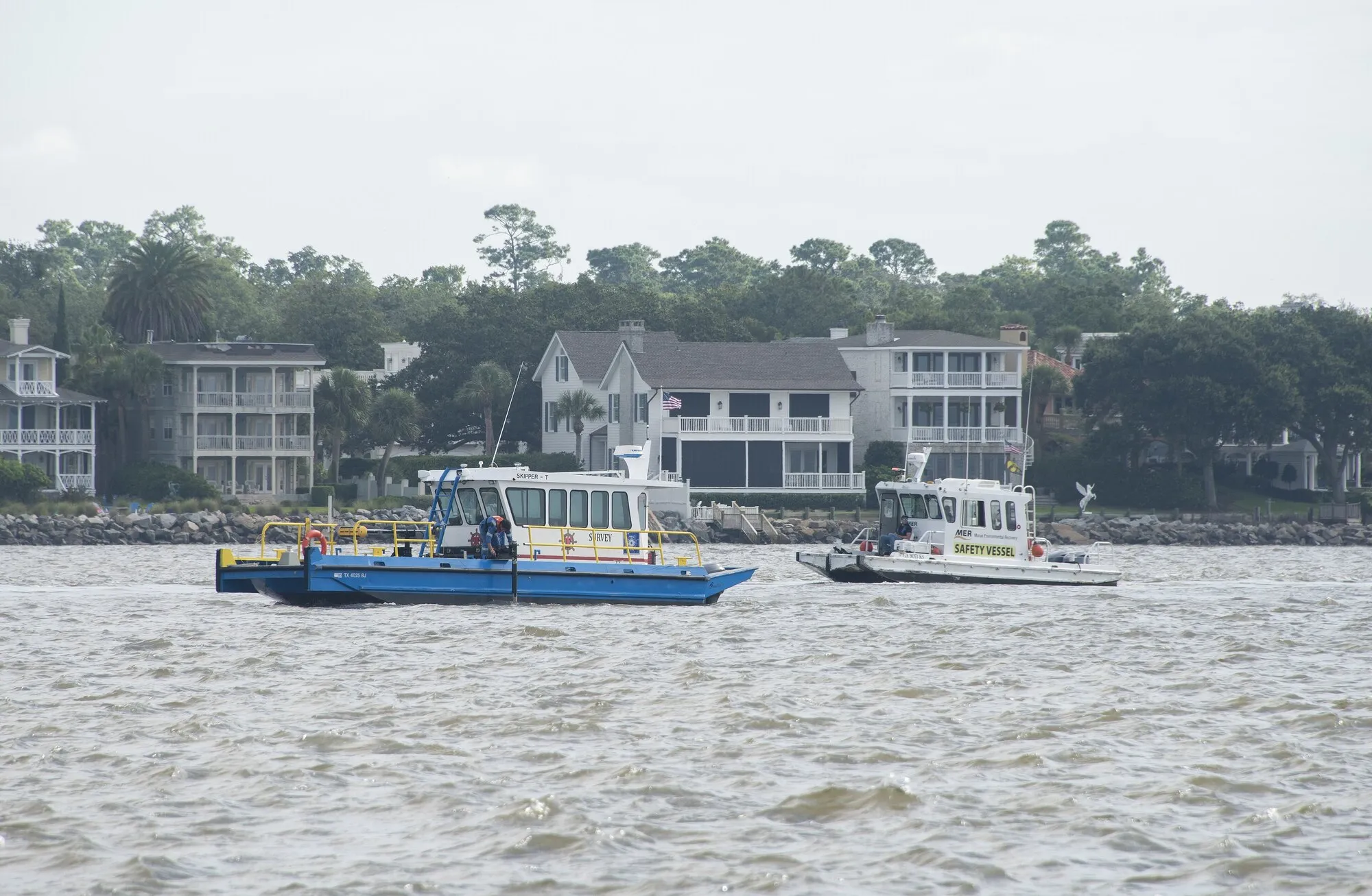
Port and waterfront projects often need data above and below the waterline. This public-domain Coast Guard photo is illustrative, not a Lanier project. Michael Himes / U.S. Coast Guard via Wikimedia Commons (public domain)
Lanier & Associates is the specialist for the Ship Channel side of the market. The engineering firm’s Corpus Christi office supports topographic and hydrographic surveying, and its equipment list includes GNSS, laser scanners, LiDAR point clouds, unmanned survey vehicles and drones.
The useful part is not simply owning a drone. Marine facilities need the land surface, bulkhead, dock, berth and underwater bottom to meet in one coordinate system. Lanier’s port, terminal and waterfront focus makes that combined scope more natural than it would be for a general aerial-photo shop.
There is a firm boundary around the service. Lanier says it does not perform property ownership or boundary surveys. If the project includes acquisition, an easement or a disputed property line, another registered survey provider will need to own that part.
Ask Lanier to separate the aerial, terrestrial and hydrographic methods in its scope. The proposal should state their datums, overlap, tie points and final surfaces. Port approval and facility security also belong in the schedule before anyone promises a flight date.
Best for: terminals, docks and industrial waterfronts that need land and water data together.
How it scored
Corpus fit
4.7 out of 5
Mapping depth
4.1 out of 5
Survey and QA
4.4 out of 5
Project fit
4.0 out of 5
Key facts
Office
500 N Shoreline Boulevard, Suite 350, Corpus Christi
Survey focus
Topographic, hydrographic and industrial sites
Capture tools
LiDAR, GNSS, laser scanners, unmanned vehicles and drones
Boundary work
Not offered
Pros
Strongest marine and port-side specialization on this list
Combines hydrographic data with land-side LiDAR and drone capture
Local office supports complex industrial waterfront scopes
Cons
Explicitly does not perform property ownership or boundary surveys
Too specialized for a simple real-estate photo or small roof inspection
A Woodsboro survey practice with geospatial-engineering depth and a useful mix of drone, pipeline and dimensional-control services.
Eby's survey menu is strongest around oilfield, pipeline and industrial measurement. This public-domain NIOSH photo is illustrative, not an Eby project. National Institute for Occupational Safety and Health via Wikimedia Commons (public domain)
Eby Survey brings a different kind of technical depth. Nathan Eby is listed as RPLS 6198 and holds a master’s degree in geospatial engineering from Texas A&M University-Corpus Christi. The Woodsboro firm has operated since 2011 and lists drone scanning for 3D and topographic work.
Its other services show where it fits best: dimensional control, GIS, oilfield, pipeline, boundary and topographic surveying. Dimensional control is a close-tolerance job used to place or verify industrial components. That makes Eby more interesting for a plant, fabrication or energy scope than for a basic marketing flight.
Woodsboro is within the Coastal Bend, but it is not Corpus Christi. Ask whether travel or mobilization appears as a separate line item. For repeat flights, get the assumed visit count and weather-rescheduling terms in writing.
The site does not publish standard drone file formats, flight controls or delivery times. Send a precise request that names the coordinate system, accuracy target, CAD version and whether the final product must be sealed.
Best for: industrial measurement, oilfield and pipeline work with a survey-heavy scope.
How it scored
Corpus fit
4.2 out of 5
Mapping depth
4.0 out of 5
Survey and QA
4.7 out of 5
Project fit
3.9 out of 5
Key facts
Base
Woodsboro
Surveyor
Nathan Eby, RPLS 6198
In business
Since 2011
Drone work
3D scanning and topographic mapping
Other depth
Dimensional control, GIS, oilfield and pipeline
Pros
Named RPLS with a master's degree in geospatial engineering
Strong fit for oilfield, pipeline and industrial measurement work
Offers boundary and topographic surveying alongside drone scanning
Cons
Based in Woodsboro, so mobilization to Corpus Christi may affect the quote
Public pages do not list standard drone file formats or timing
Serves Corpus Christi★4.1(Editorial score)★Price: Quote only
A flexible service-area option for construction records, CAD-ready maps and thermal inspection reports.
Aerial inspection can record roofs and hard-to-reach structures without a lift. This licensed BLM photo is illustrative, not a Professional Drone Services of Texas project. Shannon Bradley / Bureau of Land Management via Wikimedia Commons (CC BY 2.0)
Professional Drone Services of Texas bridges mapping and inspection. Its Corpus Christi page lists orthomosaics, point clouds, terrain models and CAD-ready files. It also offers construction documentation and thermal inspection reports.
That combination works when a facility manager needs two kinds of evidence from the same mobilization. A visible-light map can document the site plan and roof geometry, while thermal imagery can flag temperature differences for a qualified person to investigate. The image does not diagnose the cause on its own.
The company says it uses FAA-certified pilots and serves Corpus Christi and the Coastal Bend. We could not verify a staffed Corpus Christi office from its site, so we list it as a service-area company. Ask where the crew will mobilize from and whether travel is included.
The public page does not name a ground-control or independent-checkpoint procedure. That may be fine for inspections. It is a gap for engineering measurement. If dimensions will drive quantities or design, write the accuracy test into the scope.
Best for: a job that combines mapping, construction records and thermal inspection.
How it scored
Corpus fit
4.0 out of 5
Mapping depth
4.4 out of 5
Survey and QA
3.8 out of 5
Project fit
4.2 out of 5
Key facts
Local status
Corpus Christi service area; no local office stated
Mapping outputs
Orthomosaics, point clouds, terrain and CAD-ready files
Inspection work
Thermal imagery and reports
Pilot claim
FAA-certified pilots
Pros
Useful mix of mapping, construction documentation and inspection work
Lists CAD-ready deliverables and thermal reporting
Clear Corpus Christi and Coastal Bend service page
Cons
We could not verify a Corpus Christi office on the company site
Public page does not name its ground-control or checkpoint process
Serves Corpus Christi★4.0(Editorial score)★Price: Quote only
A broad reality-capture option that connects photogrammetry, LiDAR, 360-degree documentation and regulated survey work.
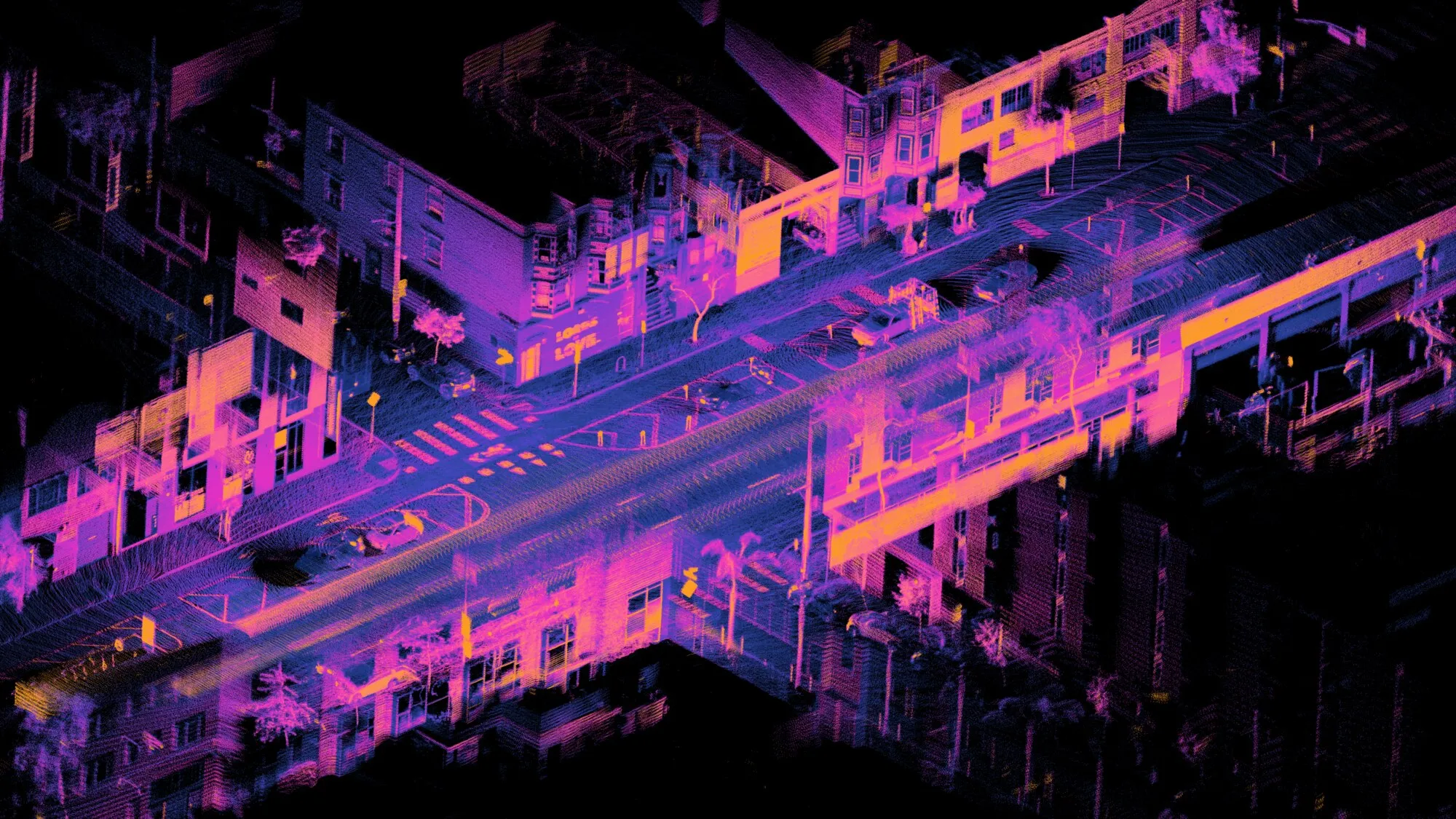
A point cloud preserves millions of measured locations for CAD and 3D work. This licensed San Francisco dataset image is illustrative, not an AeroFrohne project. Daniel L. Lu / Wikimedia Commons (CC BY 4.0)
AeroFrohne has the broadest reality-capture pitch here. Its Corpus Christi land-survey page combines drone photogrammetry, LiDAR, CAD files, point clouds and 360-degree documentation. It also lists boundary, ALTA, topographic, right-of-way, staking and as-built work.
The regulated survey work runs through Davis Family Surveying LLC, Texas surveying firm 10195037. That named relationship is important. It gives a client something specific to verify when a map must become a signed survey product.
The service mix fits complex existing conditions. An owner could use aerial data for the roof and site, terrestrial capture for rooms or equipment, and 360 imagery for a navigable construction record. The value depends on all formats sharing usable coordinates and file conventions.
We could not confirm a staffed Corpus Christi office, so plan for a service-area crew. The proposal should also state which entity contracts the work, carries insurance, controls the field data and seals any regulated deliverable. Clarity there matters more than the length of the equipment list.
Best for: a mixed aerial, LiDAR and 360-degree reality-capture assignment.
How it scored
Corpus fit
3.9 out of 5
Mapping depth
4.3 out of 5
Survey and QA
4.2 out of 5
Project fit
3.6 out of 5
Key facts
Local status
Corpus Christi service page; no local office stated
Drone outputs
Photogrammetry, LiDAR, CAD files and point clouds
Survey provider
Davis Family Surveying LLC
Texas firm
Surveying firm 10195037
Other capture
360-degree project documentation
Pros
Broad mix of aerial, LiDAR and ground-level reality capture
Survey offering runs through a named registered Texas firm
Can support boundary, ALTA, topographic and as-built work
Cons
We could not verify a staffed Corpus Christi office
Ask which legal entity will contract, insure and seal the final work
Start with the next person in the workflow. Ask the engineer, estimator, GIS analyst, insurer or owner what software will open the data and what decision it must support. Then put both answers in the request.
Deliverable
What it is good for
What to specify
GeoTIFF orthomosaic
A measurable, corrected plan-view image
Coordinate system, pixel size, date and accuracy report
LAS or LAZ point cloud
Dense 3D measurements for CAD, GIS or modeling
Classification, units, datum and point density
DTM
A ground surface with buildings and vegetation removed
Breaklines, void handling, grid spacing and vertical datum
DSM
A top surface that includes trees, roofs and equipment
Grid spacing, capture date and known gaps
DWG or DXF contours
Drafting and preliminary design
Interval, units, layers and CAD version
CSV checkpoints
Independent test points for quality review
Point IDs, coordinates, residuals and pass criteria
Thermal report
Temperature patterns for inspection follow-up
Sensor, weather limits, emissivity assumptions and reviewer
Do not order every file by habit. A mesh may look impressive and add little to a grading plan. A raw point cloud can be expensive to store and awkward to use if nobody has the right software. Pay for the data the team will open.
How to read drone accuracy claims
Ground sampling distance, or GSD, is the ground width represented by one image pixel. It describes image detail, not final map accuracy. A one-inch GSD does not promise that every measured point is within one inch of its true position.
Final accuracy also depends on camera calibration, flight geometry, terrain, vegetation, RTK or PPK corrections, ground control and independent checkpoints. Ask the provider to state horizontal and vertical accuracy separately in feet, inches or centimeters. Then ask for the checkpoint residuals that prove it.
For earthwork, clarify whether the firm will compare surfaces from two dates, which boundary closes the volume and how water, equipment and stockpile toes are handled. Small choices there can move the total more than a prettier map does.
When you need a Texas land surveyor
A drone pilot certificate and a surveying license answer different questions. The FAA certificate covers the commercial flight. Texas surveying law and board rules govern professional land surveying and the firms that offer it to the public.
If the result will establish a boundary, support an ALTA survey, create an easement, set monuments or be represented as a legal survey, start with a Texas registered surveying firm and an RPLS. Ask who will sign or seal the final deliverable. A mapping company can still do the aerial capture as a subcontractor, but the contract should name the responsible survey firm.
For planning graphics, progress records, roof inspection, marketing imagery or many stockpile assignments, a sealed boundary survey may not be the product. The intended use decides the professional scope. Say what you will do with the map before the provider prices it.
Corpus Christi flight and site constraints
Corpus Christi International Airport and other controlled-airspace areas can limit the height or timing of a mission. The FAA’s LAANC system can give near-real-time authorization for eligible operations, but it does not replace a site check. The pilot still needs to review the exact airspace grid, temporary flight restrictions, Notices to Air Missions and weather.
Port property is a separate issue. Port of Corpus Christi Tariff 200, effective March 17, 2026, prohibits unmanned aircraft over Port property unless an exemption or approval applies. The tariff gives a process for written approval. A quote for a terminal or waterfront site should identify who requests that approval and how the schedule changes if it is delayed.
Texas also restricts certain images of critical infrastructure in Government Code Chapter 423. Do not assume that FAA permission answers the property, privacy, security or facility-permission questions. The operator and site owner should identify sensitive assets before the flight plan is final.
Flood work needs another layer of care. Corpus Christi adopted its current FEMA flood-map revision on October 13, 2022, and coastal V and VE zones account for waves and storm surge. A current surface model can help with planning, but it does not replace the effective Flood Insurance Rate Map, an elevation certificate or the engineering analysis required for a permit.
A scope you can paste into a quote request
Map approximately [acreage] acres at [address or coordinates] for [design, quantities, progress, inspection or documentation]. Deliver [GeoTIFF orthomosaic], [LAS/LAZ point cloud], [DTM/DSM], and [DWG/DXF contours] in [coordinate system and units]. Target [horizontal] and [vertical] accuracy, verified with independent checkpoints. Include an accuracy report, raw checkpoint CSV, proposed flight window, FAA or property approvals, travel, taxes and the name and Texas firm number of any surveyor responsible for sealed work. Final files must open in [software and version] by [date].
Send the same scope to two or three firms. Compare exclusions as carefully as price. One quote may include control, CAD cleanup and approval work while another covers only the flight and processed imagery.
Budget and schedule planning ranges
The companies here price by quote. The ranges below are rough planning allowances drawn from common market scopes, not posted prices from these firms. Access, airspace, vegetation, control, travel, survey liability and repeat visits can change them quickly.
Project type
Early budget range
Working schedule
Small site orthomosaic
$750 to $2,500
3 to 7 business days
Controlled construction map
$2,000 to $8,000+
5 to 15 business days
LiDAR or dense vegetation
$4,000 to $15,000+
10 to 20 business days
Monthly progress flight
$600 to $2,000 per visit
Set a repeat calendar
Port, industrial or restricted site
Scope dependent
Add approval and access time
The best proposal is not always the cheapest one. It is the one that names the files, coordinate system, test method, responsible professionals, approvals, exclusions and delivery date clearly enough that the next person can use the result.
Frequently Asked Questions
How much does drone mapping cost in Corpus Christi?
Most companies quote by site rather than post a menu. For early budgeting, a small straightforward parcel may fall near $750 to $2,500, while a controlled construction or engineering survey often starts around $2,000 and can reach $8,000 or more. LiDAR, restricted access, travel, dense vegetation, repeated flights and a sealed survey can raise the total. These are planning ranges, not company quotes.
How long does a drone mapping project take?
A small site can take a few hours to fly, but processing, quality checks and CAD work set the delivery date. Skyline publishes 5 to 7 business days for standard work and 10 to 14 for larger or LiDAR projects. Weather, airspace approval and survey review can add time.
Is drone mapping the same as a land survey?
No. A drone can collect imagery and elevation data, but a legal boundary, signed survey or other regulated product requires the appropriate Texas surveying professional and firm. Put the intended legal use in the quote request so the provider can name who will seal the work.
What is the difference between an orthomosaic and a normal aerial photo?
An orthomosaic joins many overlapping images and corrects them to a map coordinate system. You can measure positions and distances within its stated accuracy. A normal aerial photo may look sharp but still contain perspective and terrain distortion.
What accuracy can drone mapping achieve?
There is no honest single number. Accuracy changes with flight height, camera, terrain, vegetation, RTK or PPK use, ground control and independent checkpoints. Ask for horizontal and vertical accuracy in ground units and for the report that shows how the result was tested.
Can a drone company fly near Corpus Christi International Airport?
Sometimes, but controlled airspace requires authorization. The FAA's LAANC system can provide near-real-time approval for eligible operations. The pilot must still check the exact grid, altitude, NOTAMs, weather and any temporary restrictions before the flight.
Can a drone fly over Port of Corpus Christi property?
Do not assume it can. The Port's current Tariff 200 prohibits unmanned aircraft over Port property unless an exemption or approval applies. A contractor should confirm the property boundary and secure written Port approval when the scope crosses Port-controlled land.
What files should I ask a drone mapper to deliver?
Name the software and decision the files must support. A common package is a GeoTIFF orthomosaic, LAS or LAZ point cloud, contours in DWG or DXF, CSV checkpoints and a short accuracy report. Add a DTM, DSM, mesh or thermal report only when the downstream team will use it.
Sources & Methodology
We used the records, official pages and independent sources listed below to report and verify this guide. No source paid for placement.